Abdulla Al Kafy
Geospatial AI & Remote Sensing Researcher
Ph.D. Candidate in Geography and the Environment
University of Texas at Austin
About Me
I am Abdulla Al Kafy, a Ph.D. candidate in Geography and the Environment at The University of Texas at Austin, where I hold the Provost's Graduate Excellence Fellowship. My research focuses on developing spatially adaptive Geospatial Artificial Intelligence (GeoAI) frameworks that transform planetary-scale remote sensing data into actionable intelligence across geographic scales. By integrating multi-resolution satellite and aerial imagery with ground-based observations, I address the Modifiable Areal Unit Problem (MAUP) using scale-invariant computational methods.
My work incorporates self-supervised learning for Earth observation and foundation models to enhance analytical precision and scalability in Earth system monitoring, infrastructure optimization, and real-time decision support. My principal research interests include Remote Sensing for Artificial Intelligence, Urban Geo Analytics, Environmental Generative AI, GIScience, and Machine Learning/Deep Learning.
I have received over $67,000 in competitive fellowships and research grants, including the Harry E. and Bernice M. Moore Fellowship ($20,000), Provost's Graduate Excellence Fellowship ($50,000), Robert E. Veselka Memorial Fellowship (2023 & 2025), AGS Council Fellowship, Scholars Lab Fellowship, and the COLA Dissertation Research Award. I have also earned recognition through awards such as First Place at UT GIS Day Poster Competition, Third Place in the SWAAG Graduate Student Paper Competition, and multiple Professional Development Awards.
My academic background includes a Master's degree in Geography and the Environment from UT Austin and a Bachelor's degree in Urban and Regional Planning from Rajshahi University of Engineering & Technology. I have completed advanced coursework in Geographic Information Systems, GeoAI, LiDAR Analysis, Environmental Geospatial Applications, and statistical modeling. Technically, I am proficient in PyTorch, TensorFlow 2.0, Python, JavaScript, R, MATLAB, ArcGIS Pro, Google Earth Engine, QGIS, Erdas Imagine, ENVI, STATA, and SPSS. I am fluent in English and Bangla, with speaking proficiency in Urdu and Hindi.
Professionally, I have served as a Graduate Teaching Assistant and held roles as an Urban Planner, GIS Specialist, and Research Consultant with organizations including ICLEI South Asia, Rajshahi Development Authority, and B & F Company Ltd. My work has contributed to climate resilience planning, urban sustainability, and environmental management across South Asia. I have authored over 40 peer-reviewed publications and regularly review for leading journals such as Remote Sensing of Environment, Sustainable Cities and Society, and Journal of Environmental Management.
Principal Interests
Contact
[email protected] • [email protected]
Address
Robert L. Patton Building (RLP), Digital Landscape Lab, RLP 3.306, 305 E 23rd St, Austin, TX 78712
News
10/18/2025 — I was awarded the Scholars Lab Fellowship ($3,000).
08/01/2025 — I was awarded the Harry E. and Bernice M. Moore Fellowship ($20,000).
05/12/2025 — I received the Robert E. Veselka Memorial Fellowship - 2025 ($1,500).
05/10/2025 — Completed 1 year of my PhD; CGPA: 4.00 (Fall 2024 & Spring 2025).
11/22/2024 — Presented a poster at Geography 2050 — Event entry.
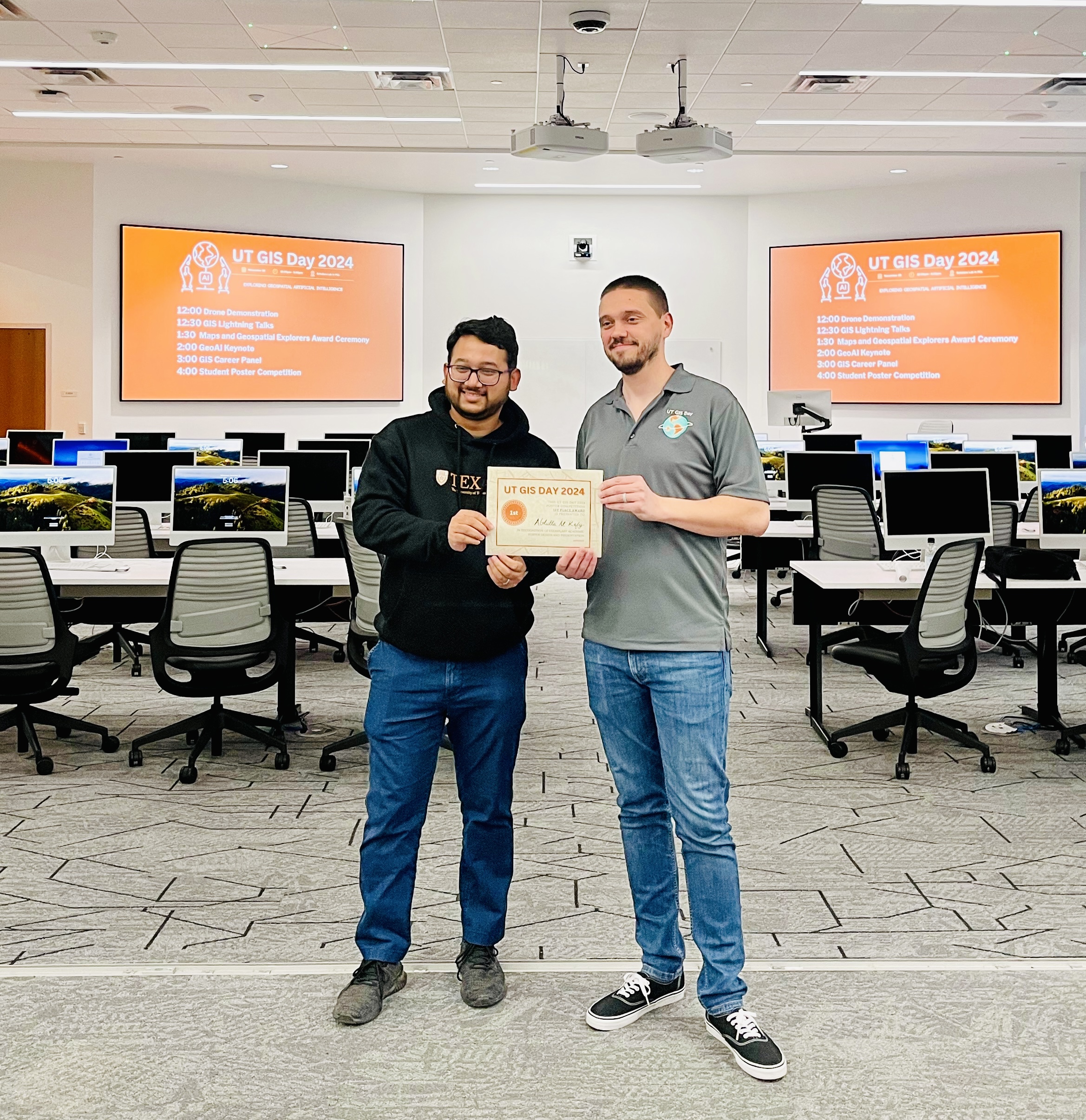
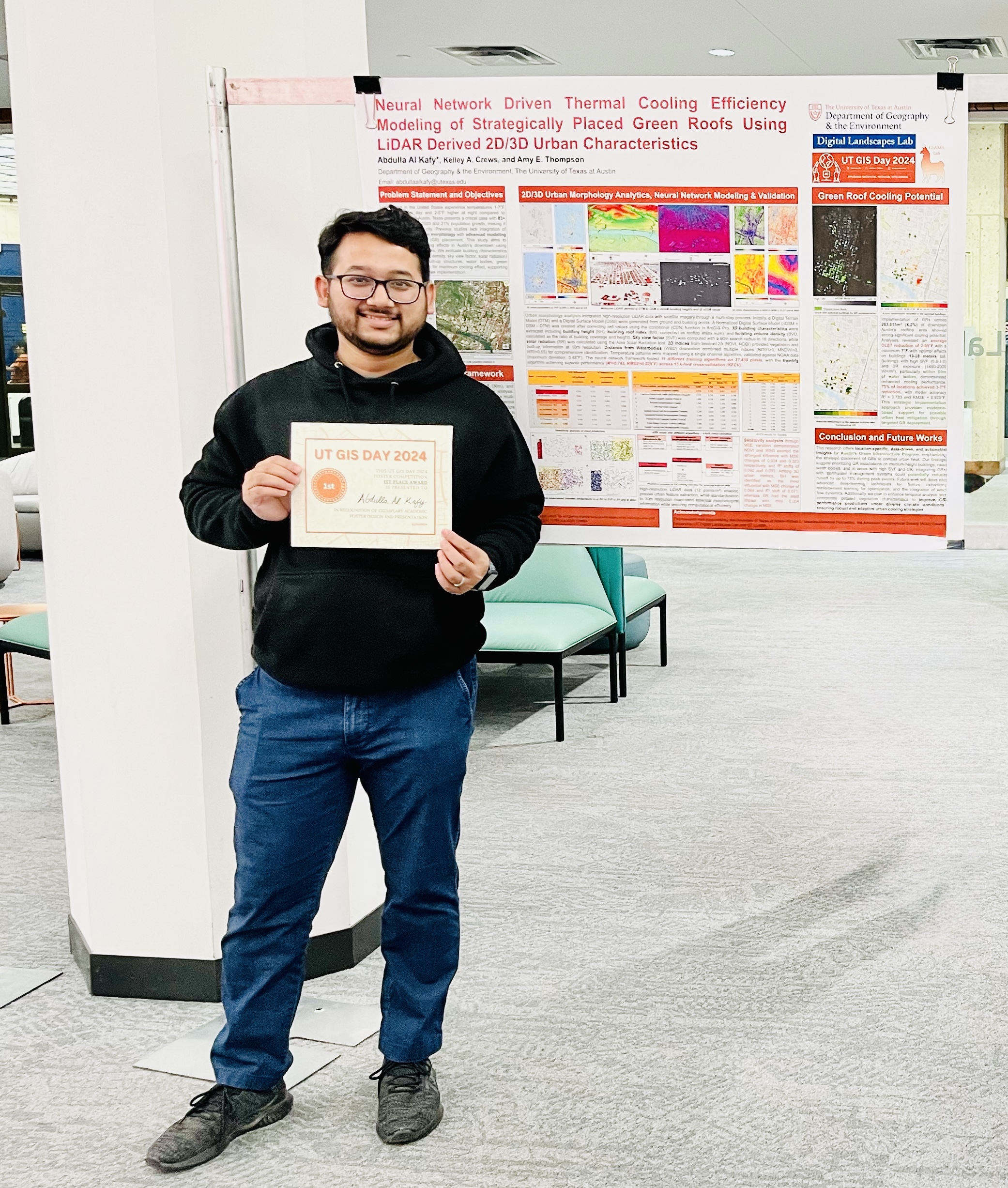
11/18/2024 — Presented a poster at UT GIS Day – 2024.
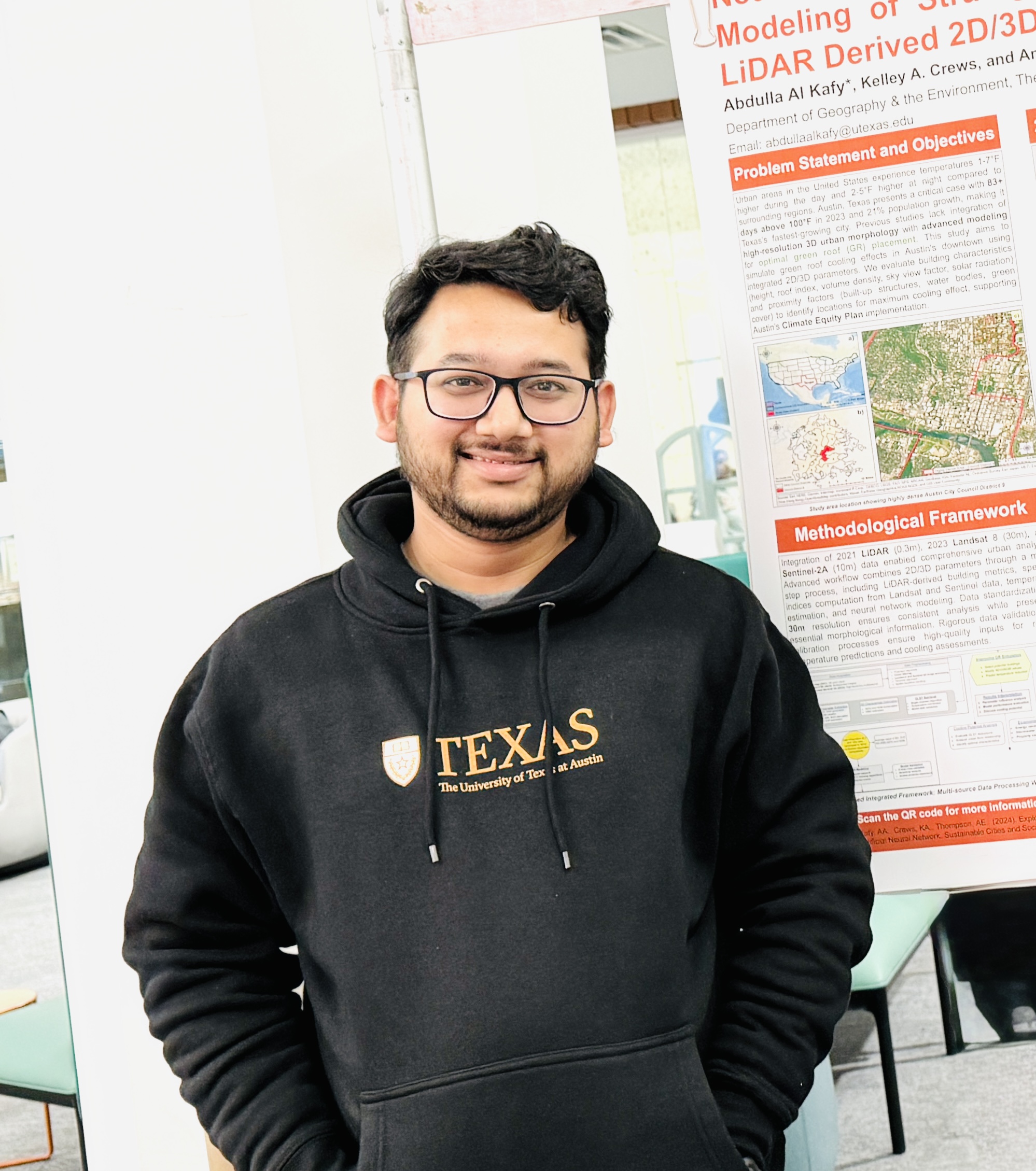
11/18/2024 — Awarded First Prize for the poster presentation at UT GIS Day – 2024.
10/06/2024 — Presented a Graduate Student Research Paper at SWAAG – 2024.
10/08/2024 — Received Third Prize at the Graduate Student Research Paper Competition at SWAAG - 2024.
Profiles


Education

The University of Texas at Austin
PhD in Geography and the Environment — CGPA: 4.00 / 4
Austin, Texas • Fall 2024 – Spring 2028
The University of Texas at Austin
MSc in Geography and the Environment — CGPA: 4.00 / 4
Austin, Texas • Fall 2022 – Spring 2024

Rajshahi University of Engineering & Technology
Bachelor of Urban & Regional Planning — CGPA: 3.42 / 4
Rajshahi, Bangladesh • Spring 2013 – Fall 2017
Fellowships, Awards & Research Grants

Harry E. and Bernice M. Moore Fellowship (20,000$)
Funding support for completing PhD dissertation
Hogg Foundation for Mental Health, The University of Texas at Austin
Austin, TX | Fall 2025 – Spring 2026

Scholars Lab Fellowship (3,000$)
Funding for completing a project involving data, digital collections, or digital methods.
The University of Texas at Austin Libraries
Austin, TX | Fall 2025 – Spring 2026

Provost's Graduate Excellence Fellowship (50,000$)
Funding support for completing MA and PhD
Department of Geography and the Environment, UT Austin
Austin, TX | Fall 2022 – Spring 2023 & Fall 2025 – Spring 2026

Robert E. Veselka Memorial Fellowship - 2025 (1,500$)
Funding support for completing dissertation fieldwork.
Department of Geography and the Environment, UT Austin
Austin, TX | Summer 2025

COLA Dissertation Research Award - 2024 (500$)
Funding support for completing dissertation fieldwork.
Department of Geography and the Environment, UT Austin
Austin, TX | Summer 2024
First Position in Research Poster at UT GIS Day 2024 (250$)
The University of Texas Libraries
Austin, TX | November 2024

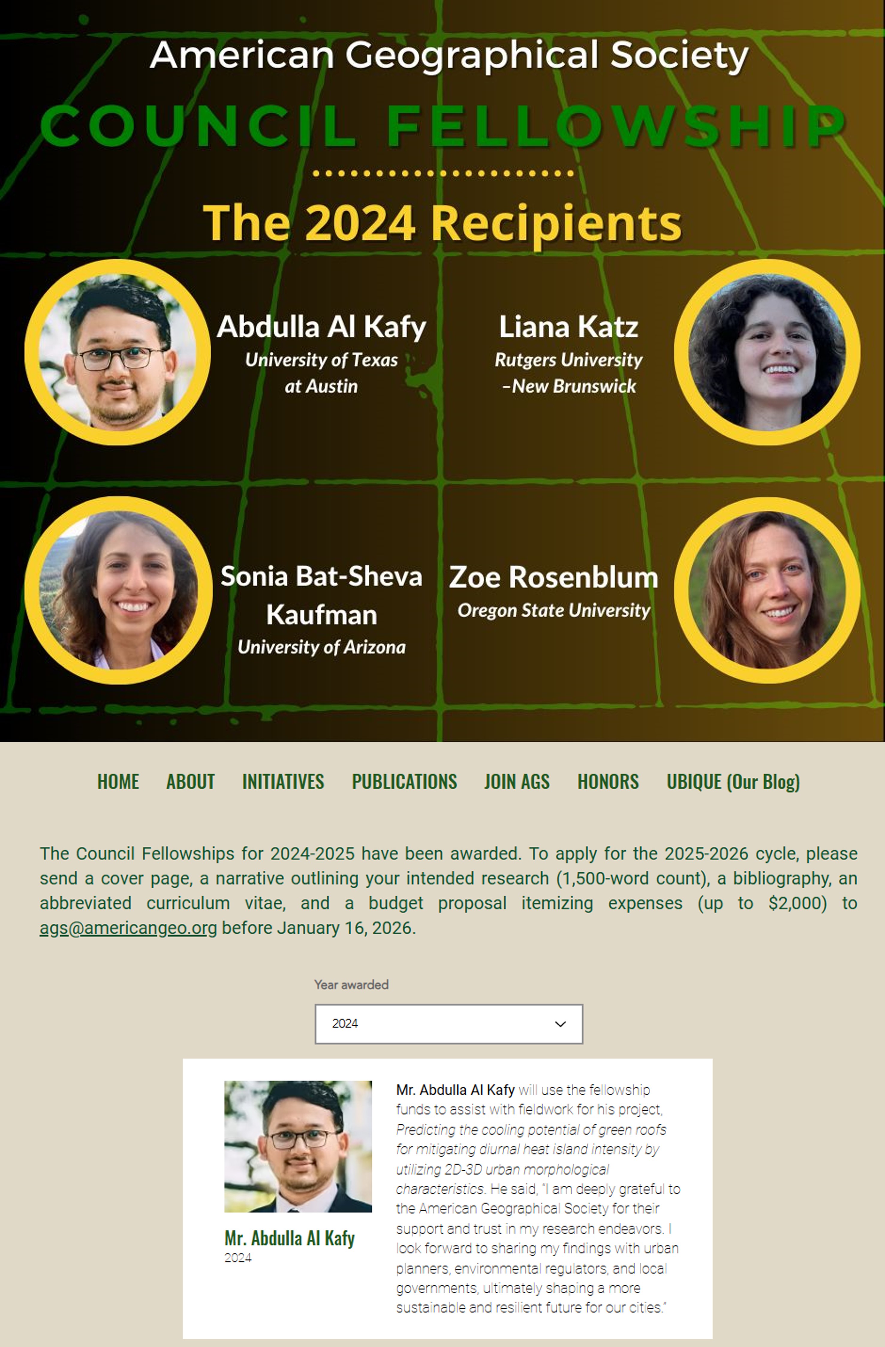
AGS Council Fellowship - 2024 (2,000$)
Graduate student scholarship for geographical research and fieldwork.
American Geographical Society
New York, NY | March 2024 – March 2025

Professional Development Award - 2024 (250$)
Funding support to attend professional meetings & conferences to disseminate research findings.
Department of Geography and the Environment, The University of Texas at Austin
Austin, TX | January 2023 – April 2023

Graduate Student Paper Competition Third Position – 2024 (100$)
SWAAG Annual Meeting
San Marcos, TX
October 2024
Robert E. Veselka Memorial Fellowship - 2023 (2000$)
Funding support for completing dissertation fieldwork.
Department of Geography and the Environment, The University of Texas at Austin
Austin, TX | Summer 2023
Professional Development Award - 2023 (1200$)
Funding support to attend professional meetings & conferences to disseminate research findings.
Department of Geography and the Environment, The University of Texas at Austin
Austin, TX | January 2023 – April 2023
Travel Grant for Urban Climate Solutions Workshop – 2023 (500$)
Presented research on vegetation dynamics and surface temperature modulation.
School of Architecture, Texas A&M University
College Station, TX | October 9–10, 2023

Fundamental Research Grants Scheme (8,000$)
Developing a framework for environmental sustainability by mitigating ecological risk.
Ministry of Education of Malaysia
Malaysia | August 2022 – July 2024

Local Pathways Fellowship
Project: Sustainable Urbanization in Rajshahi City, Bangladesh (SDG 11)
UN Sustainable Development Solutions Network (SDSN)
New York (Remote) | Sept 2018 – Dec 2019
Academic Appointments

The University of Texas at Austin — Graduate Teaching Assistant
- Leading discussion sessions and labs, offering clear explanations and guidance on course material.
- Evaluated and graded a variety of exercises, both in discussion sections and for homework assignments.
- Readily available to assist students with their coursework during class and office hours.
- Tracking student participation and attendance, ensuring a conducive learning environment.
Austin, TX • August 2023 – Present
The University of Texas at Austin — Provost's Graduate Excellence Fellow
- Engaged in research, teaching, and academic activities related to environmental sustainability.
- Participated in conferences, workshops, and professional development opportunities.
Austin, TX • August 2022 – August 2023

University of Liberal Arts Bangladesh (ULAB) — Publication Associate (Consultant)
Project: Building Resilient Universities: Promotion of Democratic Citizenship and Media Literacy.
- Refined and published reports on environmental sustainability, resilience management, COVID-19, social science, and business management.
- Enhanced manuscripts for peer-reviewed journals by strengthening methodology, results, and language structure.
Dhaka, Bangladesh • October 2020 – Present
Industrial Appointments
ICLEI – Local Government for Sustainability (International NGO) — Urban Planner and Project Officer
- Remote sensing database creation, monitoring, and ensuring the quality of datasets.
- Mapping land cover, natural assets, fragile urban systems, climate risks, and vulnerable hotspots.
- Prepared city profiles, vulnerability assessments, and Greenhouse Gas emission reports.
- Developed project reports and Terms of Reference (ToR).
- Identified potential climate change and environmental protection-related projects.
Rajshahi, Bangladesh • November 2019 – July 2022

Rajshahi Development Authority (Government Organization) — GIS Specialist
- Prepared remote sensing databases, performed error checking, and digitization.
- Created land use maps using commercial and freely available satellite imagery.
- Conducted suitability analyses and risk assessments.
- Provided methodological and technical support in data acquisition.
- Monitored and ensured the quality of fieldwork and data management.
Rajshahi, Bangladesh • October 2018 – October 2019

B & F Company Ltd. — GIS Specialist
- Prepared land use maps using RapidEye and Landsat images.
- Collected data from satellite and ground-based platforms.
- Created layout plans and 3D visualizations.
- Performed land suitability analyses.
- Prepared project completion reports.
Dhaka, Bangladesh • May 2018 – September 2018

Center for Environmental and Geographic Information Services (Non-Profit Organization) — Research Consultant
- Prepared land use maps using RapidEye, Sentinel, and Landsat images.
- Created and validated remote sensing databases.
- Generated DEMs, performed digitization, topology correction, and error validation.
Dhaka, Bangladesh • November 2017 – April 2018

Eusuf and Associates — GIS Consultant
Project: Urban Primary Health Care Services Delivery Project (UPHCSDP)
- Mapped slum catchment areas using GPS, GIS, and remote sensing data.
- Conducted ground truthing using GIS & GPS tools.
- Performed topographical surveys and report preparation.
Dhaka, Bangladesh • April 2017 – October 2017

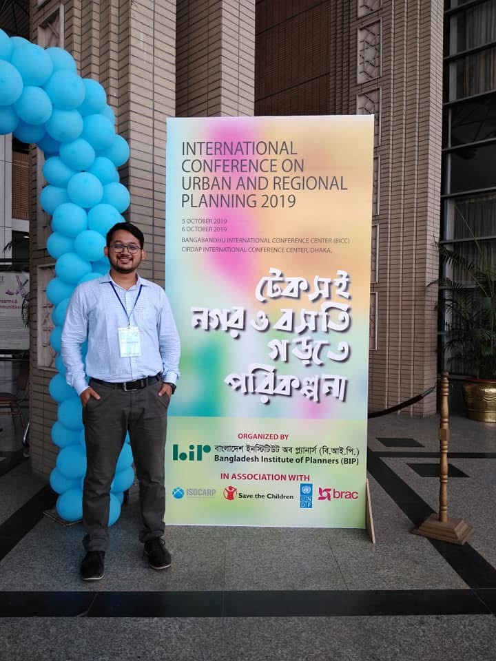
Bangladesh Institute of Planners (BIP) — Research Assistant
Project: Developing Active Transportation Indicators for Rajshahi, Bangladesh.
- Conducted travel behavior questionnaire surveys.
- Performed data entry and analysis.
- Mapped travel behavior variables and documented survey results.
Dhaka, Bangladesh • March 2017 – September 2017

Caritas Bangladesh — Research Consultant
Project: Integrated Community Development Project (ICDP)
- Mapped slum catchment areas using GPS, GIS, and remote sensing data.
- Performed ground truthing using GIS & GPS tools.
- Conducted topographical surveys and field data collection.
Rajshahi, Bangladesh • April 2016 – October 2016
Workshops, Presentations, And Certifications

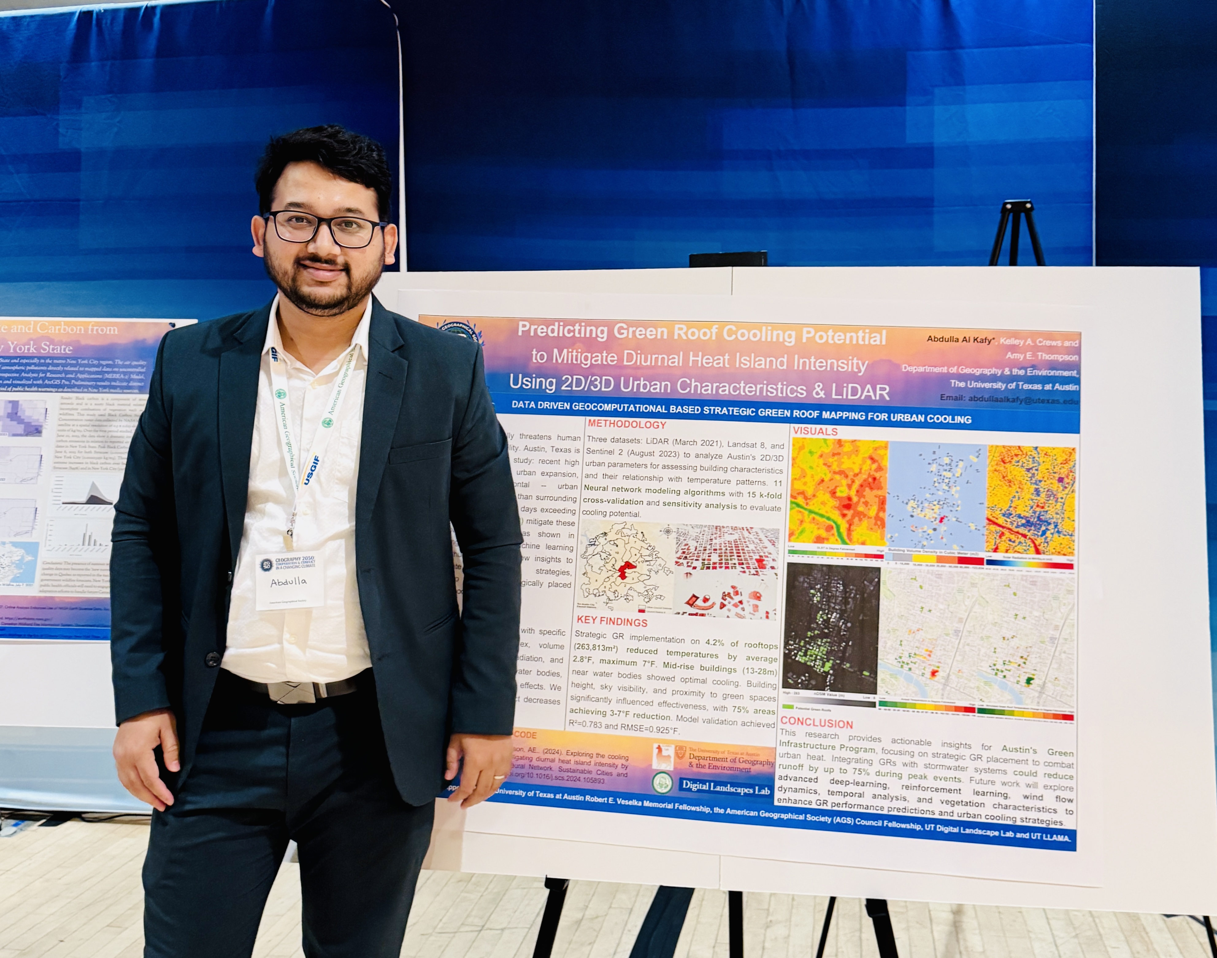
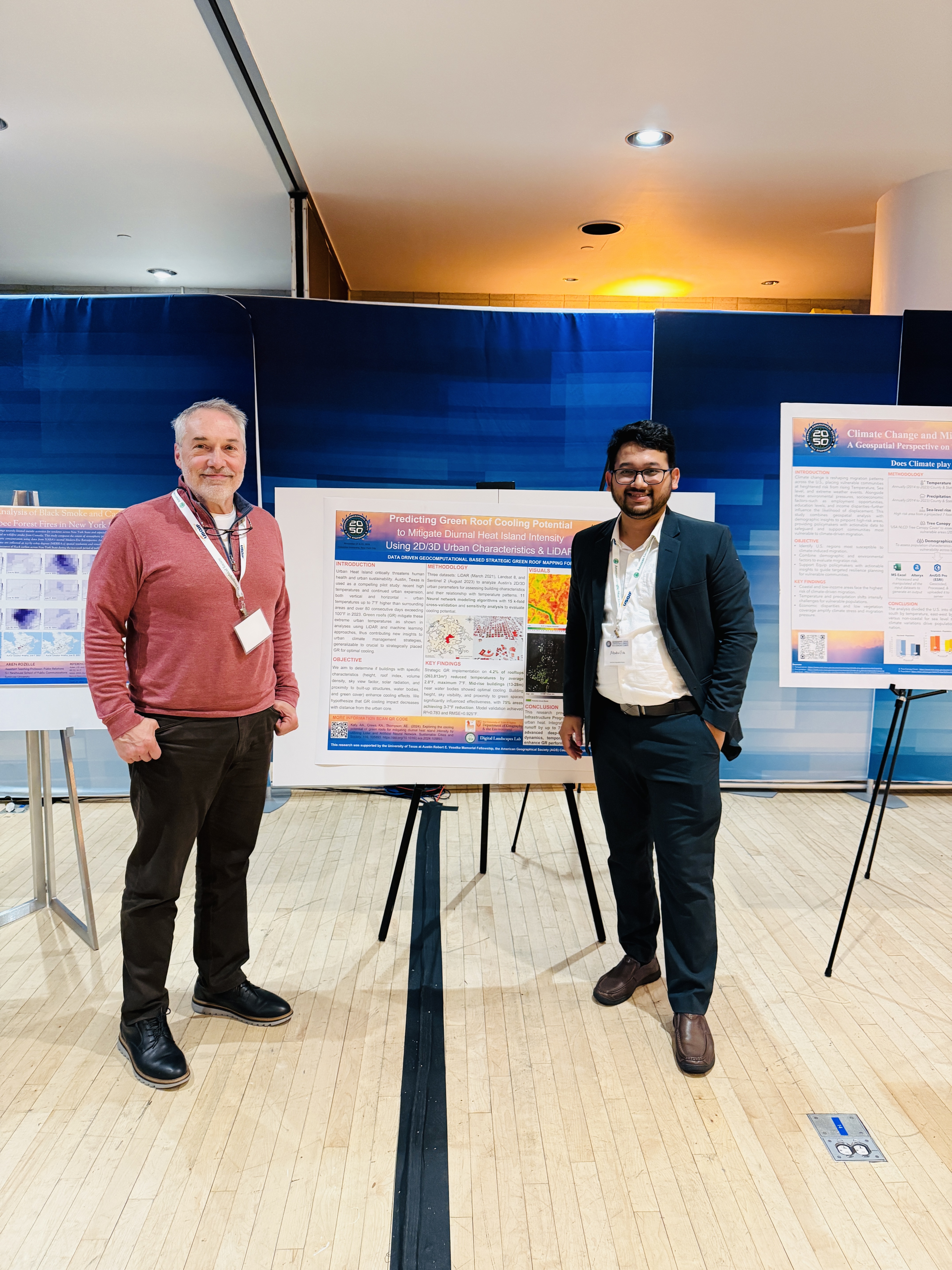
Poster Presentation at Geography 2050: Cooperation & Conflict In A Changing Climate - 2024
The American Geographical Society
Title: Predicting Green Roof Cooling Potential to Mitigate Diurnal Heat Island Intensity Using 2D/3D Urban Characteristics & LiDAR
New York, NY | November 2024
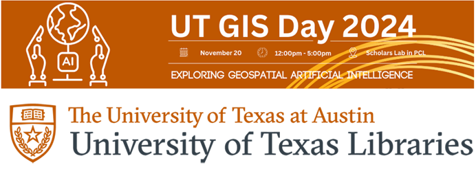
Poster Presentation at UT GIS Day - 2024
The University of Texas at Austin
Title: Neural Network Driven Thermal Cooling Efficiency Modeling of Strategically Placed Green Roofs Using LiDAR Derived 2D/3D Urban Characteristics
Austin, TX | November 2024

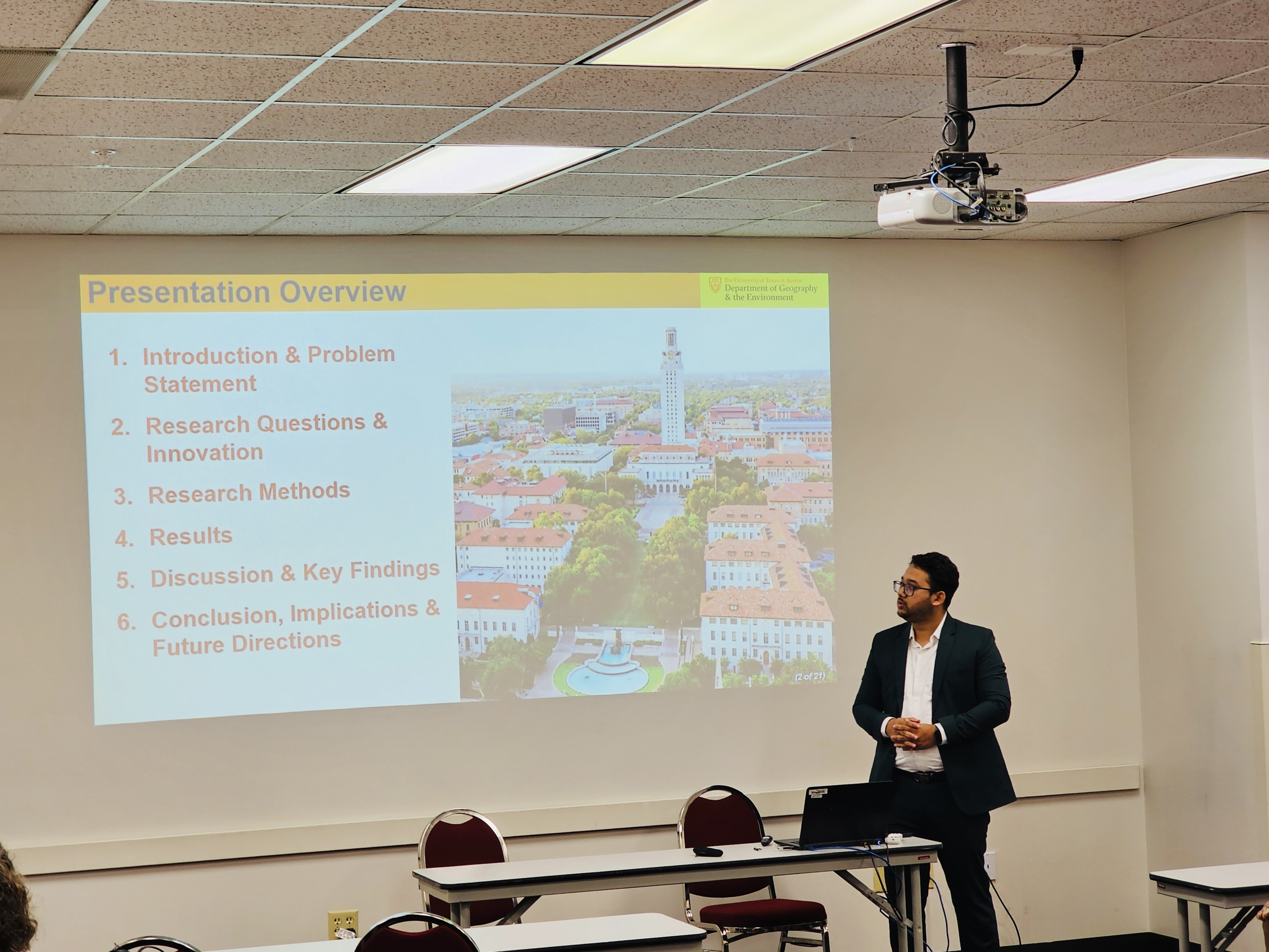
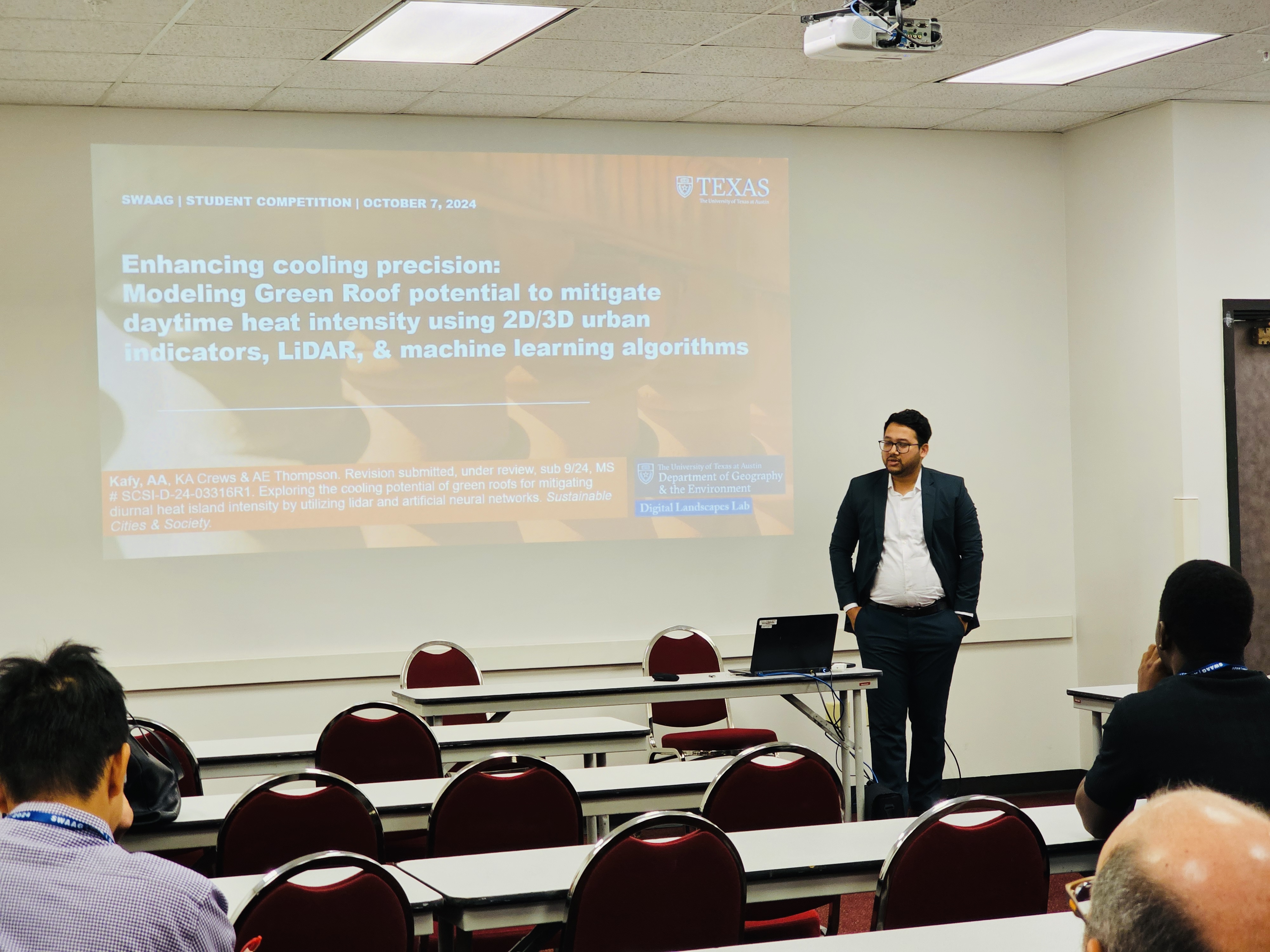
Graduate Student Research Paper Competition at SWAAG - 2024
Texas State University
Title: Enhancing cooling precision: Modeling green roofs potential to mitigate daytime heat intensity using 2D/3D urban indicators, Lidar, and machine learning algorithms
San Marcos, TX | October 6–8, 2024
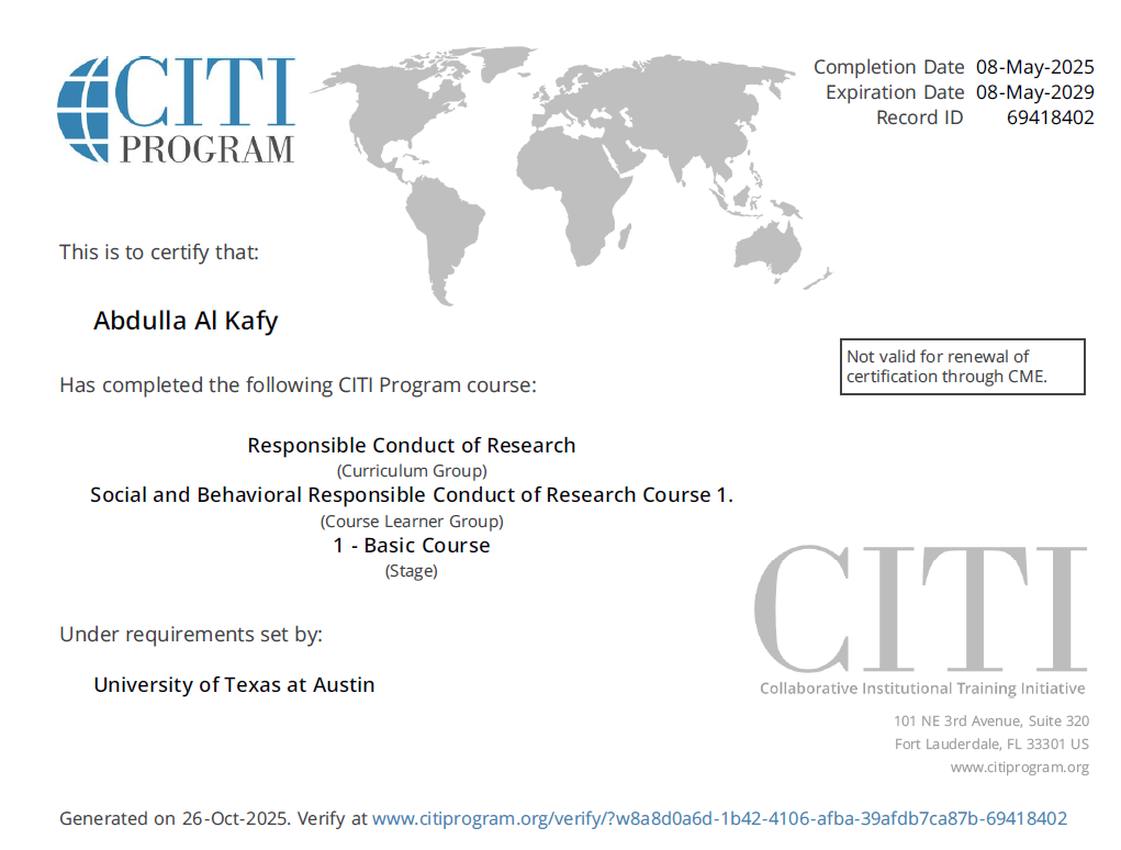
Social and Behavioral Responsible Conduct of Research Course
CITI Program, The University of Texas at Austin
Austin, TX | May 2025
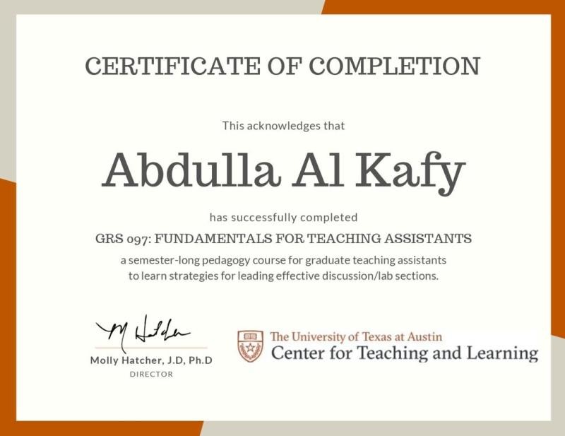
Fundamentals for Teaching Assistants
Center for Teaching and Learning, The University of Texas at Austin
Austin, TX | Fall 2023 (Aug – Dec)

Research Paper Presentation at Urban Climate Solutions Workshop - 2023
School of Architecture, Texas A&M University
Title: Exploring the role of vegetation dynamics in modulating summer diurnal surface temperature
College Station, TX | October 9–10, 2023

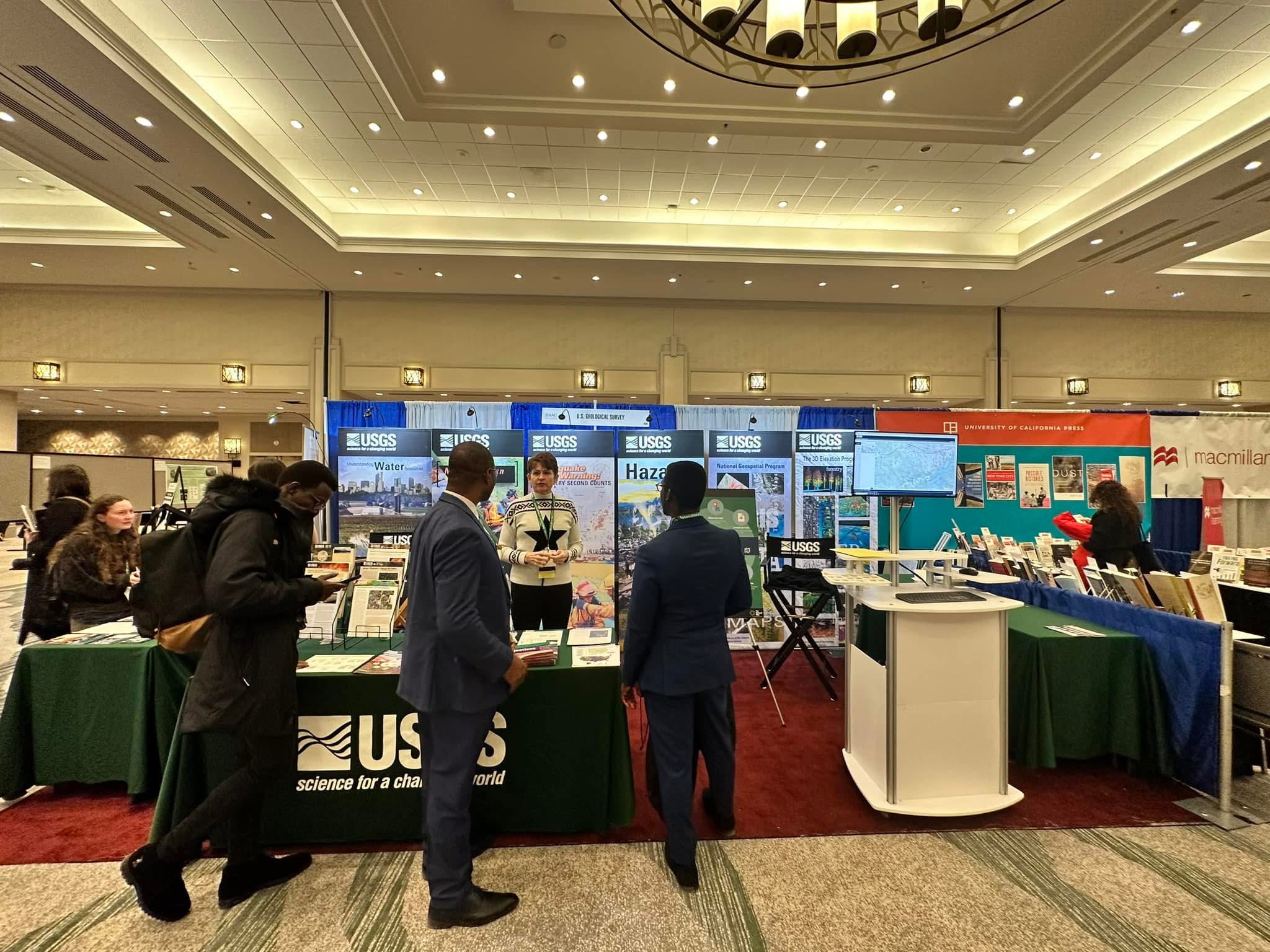
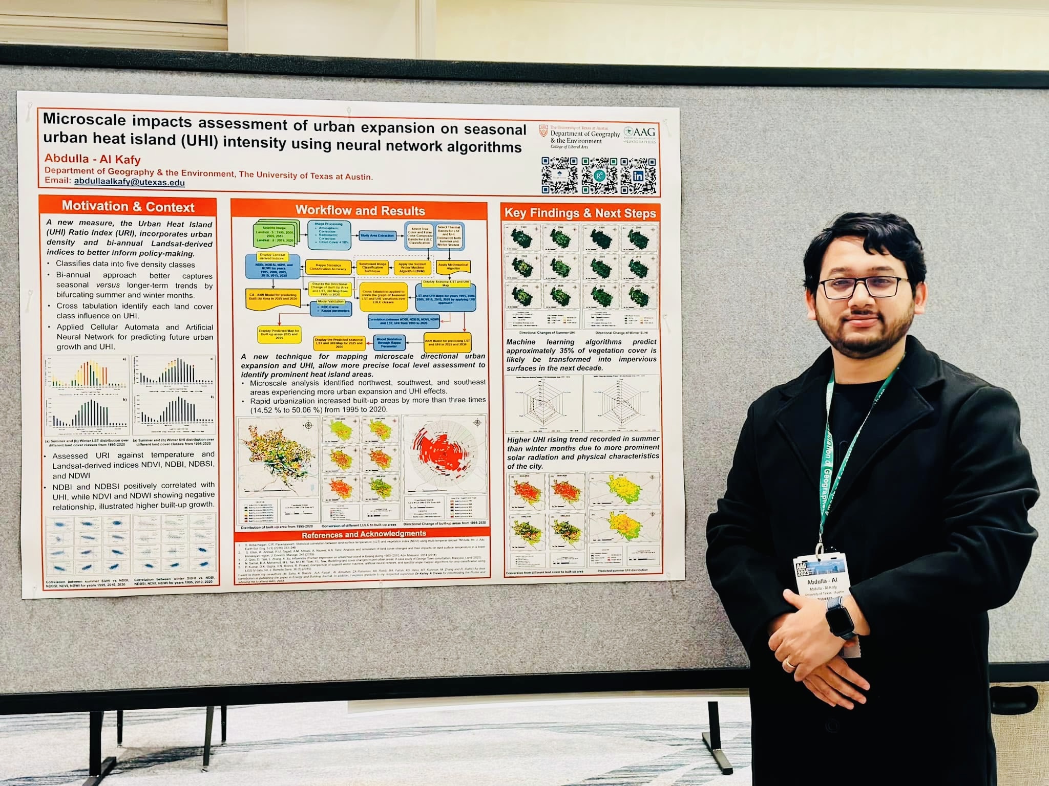
Poster Presentation at AAG - 2023
The American Association of Geographers
Title: Microscale impacts assessment of urban expansion on seasonal urban heat island intensity using neural network algorithms
Denver, CO | March 23–27, 2023
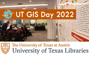
Poster Presentation at UT GIS Day - 2022
The University of Texas at Austin
Title: Modelling microscale impacts assessment of urban expansion on seasonal surface urban heat island intensity using neural network algorithms
Austin, TX | November 2022

ICLEI World Congress - 2022
Hosted by ICLEI & City of Malmö, Sweden
A major international event that brings together 1,750+ cities and regions to promote sustainable urban development.
Malmö, Sweden | May 11–13, 2022
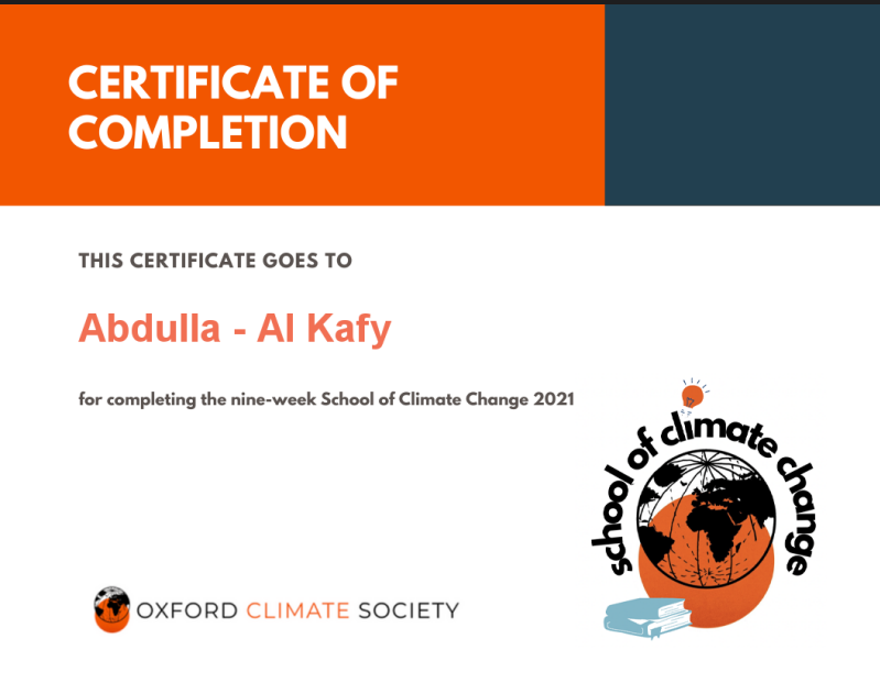
School of Climate Change 2021
Organized by Oxford Climate Society
Gained understanding of climate science, mitigation strategies, and international climate policies.
Oxford, England, UK | September–December 2021

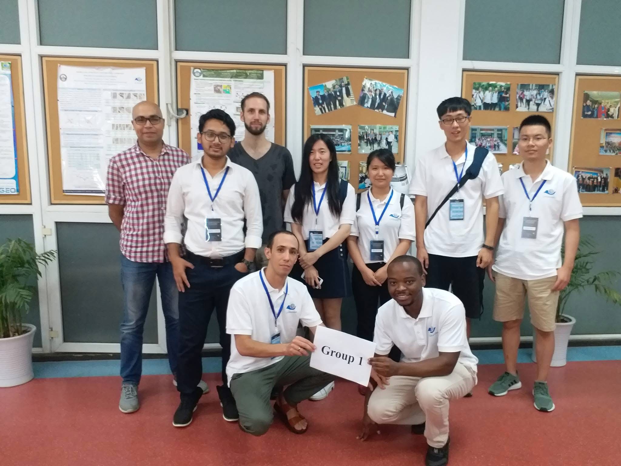
Geoinformatics Summer School - 2021
LIESMARS, Wuhan University, China
Covered SAR Interferometry, Machine Learning, Geospatial Big Data, and Disaster Management.
Wuhan, China | August 23–31, 2021
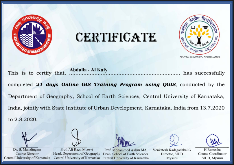
21 Days GIS Training Programme using QGIS - 2020
Central University of Karnataka & State Institute of Urban Development
Data management, spatial analysis, and mapping in QGIS platform.
Karnataka, India | July 13 – August 2, 2020
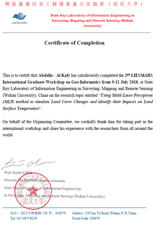
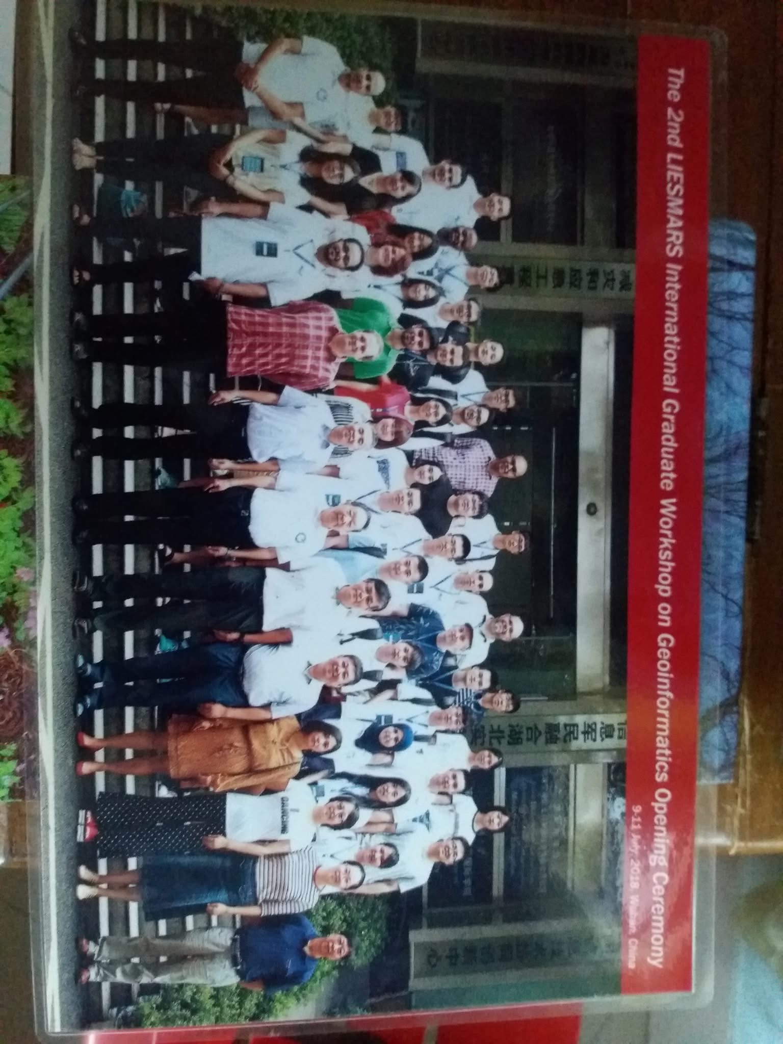
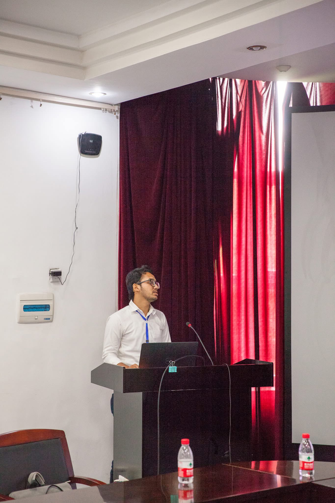
International Geoinformatics Summer School - 2018
LIESMARS, Wuhan University, China
Paper Presentation: Modeling future land use and land surface temperature changes in Rajshahi, Bangladesh.
Wuhan, China | July 1–8, 2018
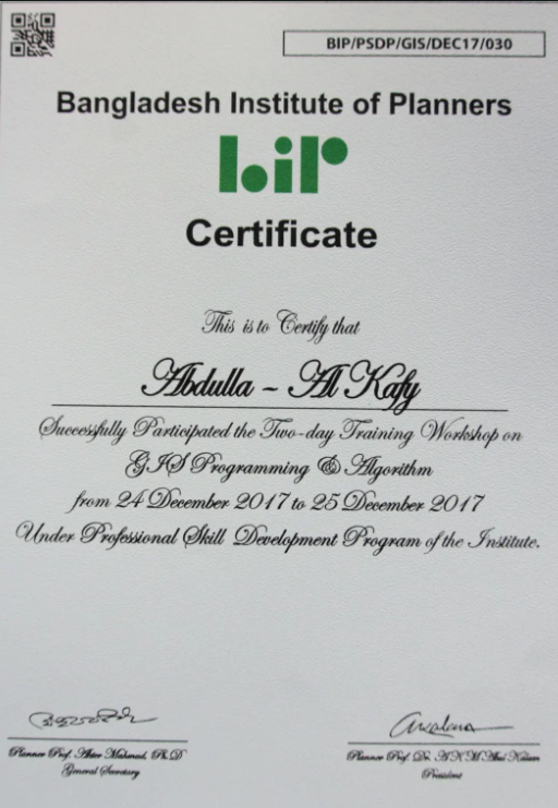
Workshop on GIS Programming & Algorithm - 2017
Bangladesh Institute of Planners (BIP)
Python scripting in GIS, spatial databases, and GIS application development.
Dhaka, Bangladesh | December 24–25, 2017
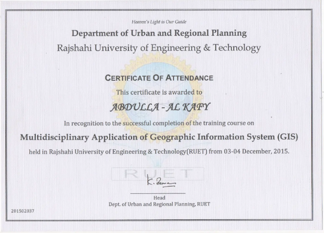
Workshop on Multidisciplinary Application of GIS
Department of Urban and Regional Planning, Rajshahi University of Engineering & Technology
Covered GIS use for planning, zoning, transportation, demographics, biodiversity, and environmental modeling.
Rajshahi, Bangladesh | December 24–25, 2015
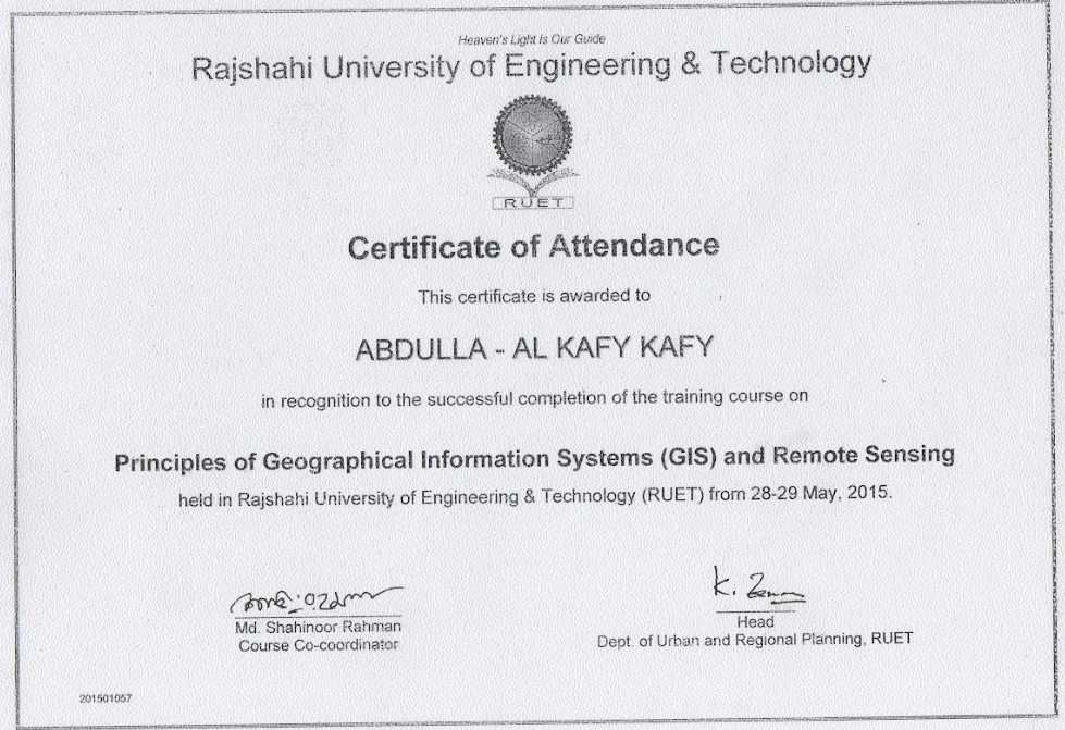
Workshop on Principles of GIS and Remote Sensing
Department of Urban and Regional Planning, Rajshahi University of Engineering & Technology
GIS practical exercises, satellite image analysis, and GIS–RS integration.
Rajshahi, Bangladesh | May 2–4, 2015
Services
Professional Affiliations
- Member, American Geophysical Union
- Member, American Geographical Society
- Member, American Association of Geographers
- Member, Bangladesh Institute of Planners
Membership in such organizations involves a commitment to the profession, access to resources and opportunities for professional development, and the chance to network with other professionals in the field.
Journal Reviewing
Elsevier
- Remote Sensing of Environment
- Sustainable Cities and Society
- Science of Total Environment
- Journal of Environmental Management
- Building and Environment
- Environmental Modelling & Software
- Advance in Space Research
- Remote Sensing Applications: Society and Environment
- Cities
- World Development Sustainability
Springer
- Environmental Monitoring and Assessment
- Theoretical and Applied Climatology
- GeoJournal
- Natural Hazard
Taylor and Francis
- Geocarto International
- Applied Artificial Intelligence
- Geo-Spatial Information Research
- International Journal of Digital Earth
Updated October 21, 2025
Publications
Publication Categories
1. Kafy, AA., Crews, KA., Thompson, AA. (2025). Exploring the cooling potential of green roofs for mitigating diurnal heat island intensity by utilizing Lidar and Artificial Neural Network. Sustainable Cities and Society, 116, 105893.
expand_more
2. Kafy, AA., Dey, NN., Saha, M., et al. (2024). Leveraging machine learning algorithms in dynamic modeling of urban expansion, surface heat islands, and carbon storage for sustainable environmental management in coastal ecosystems. Journal of Environmental Management, 370, 122427.
expand_more
3.AlRifai, MH., Kafy, AA. , & Altuwaijri, HA. (2025). Quantitative Assessment of Flood Risk Through Multi Parameter Morphometric Analysis and GeoAI: A GIS-Based Study of Wadi Ranuna Basin in Saudi Arabia. Water, 17(14), 2108.
expand_more
4. Altuwaijri, HA.,Kafy, AA., (2025). Decoding atmospheric thermal exposure patterns with implications for environmental health and urban air quality over forty years in arid regions. Air Quality, Atmosphere & Health, 18, 2405–2430.
expand_more
5. Altuwaijri, HA., Kafy, AA.,, AA., Rahaman, ZA., et al. (2025). Predicting Spatiotemporal Dynamics of Land Use Influenced Thermal Patterns Using Remote Sensing-based Machine Learning Algorithms. Rangeland Ecology & Management, 103, 8–27.
expand_more
6. Altuwaijri, HA., Kafy, AA., Rahaman, ZA. (2025). Multi-temporal remote sensing and geospatial analysis for urban ecosystem service dynamics: A three-decade assessment of land surface transformation in Jeddah, Saudi Arabia. Physics and Chemistry of the Earth, Parts A/B/C, 139, 103892.
expand_more
7. Altuwaijri, HA., Kafy, AA., Rahaman, ZA., et al. (2025). Biophysical parameters and land surface temperature dynamics in arid urban environments: A comprehensive machine learning approach. Environmental Earth Sciences, 84(15), 434.
expand_more
8. Miah, M.T., Fariha, J.N., Kafy, AA.,. et al. (2025). Geostatistical assessment of spatial climate dynamics using mono window machine learning algorithm for decoding land cover and demographic shifts influence on thermal environment. Theoretical and Applied Climatology, 156, 544.
expand_more
9. Salim, M. Z., Rahman, M. H.,Kafy, AA.,, et al. (2025). Automated geospatial workflow for spatiotemporal assessment of urban expansion influence on deforestation in Northeast Florida. Kuwait Journal of Science, 100453.
expand_more
10. AlDousari, A.E.,Kafy, AA., AA & Rahaman, Z.A. (2025). Unveiling the dynamic interplay of biophysical, morphological, and temperature extremes in arid regions of Kuwait: Decoding sustainable urban resilience by utilizing remote sensing techniques. Arab J Geosci 18, 131.
expand_more
11. Aldosary, A.S., Al-Ramadan, B., Kafy, AA et al. (2025). Illuminating the invisible: unveiling multiscale environmental impacts of ultraviolet irradiance utilizing advanced statistical analysis in arid climate. Theor Appl Climatol 156, 76.
expand_more
12. Sonet, M.S., Hasan, M.Y., Kafy, AA et al. (2025). Spatiotemporal analysis of urban expansion, land use dynamics, and thermal characteristics in a rapidly growing megacity using remote sensing and machine learning techniques. Theor Appl Climatol 156, 79.
expand_more
13. Shuvo, R.M., Chowdhury, R.R., Chakroborty, S., Kafy, AA et al. (2025). Groundwater sustainability assessment and desertification susceptibility mapping in semi-arid Bangladesh using integrated remote sensing and logistic regression modeling. Appl Water Sci 15, 224.
expand_more
14. Al-Ramadan, B., Aldosary, A.S., Kafy, A. et al. (2025). Unraveling solar irradiance dynamics in arid atmospheres: A multi-decadal wavelet coherence and probability density functions analysis with implications for air quality, climate, and renewable energy. Air Qual Atmos Health 18, 1463–1487.
expand_more
15. Kafy, AA., Altuwaijri, HA. (2024). Eco-climatological modeling approach for exploring spatiotemporal dynamics of ecosystem service values in response to land use and land cover changes in Riyadh, Saudi Arabia. Theoretical and Applied Climatology.
expand_more
16. Saha, M., Kafy, AA., Bakshi, A., et al. (2024). The urban air quality nexus: Assessing the interplay of land cover change and air pollution in emerging South Asian cities. Environmental Pollution, 361, 124877.
expand_more
17. Salim, MZ., Kafy, AA., Altuwaijri, HA., et al. (2024). Quantitative assessment of Hurricane Ian’s damage on urban vegetation dynamics utilizing Landsat 9 in Fort Myers, Florida. Physics and Chemistry of the Earth, Parts A/B/C, 136, 103750.
expand_more
18. Almulhim, AI., Kafy, AA., Ferdous, MN., et al. (2024). Harnessing urban analytics and machine learning for sustainable urban development: A multidimensional framework for modeling environmental impacts of urbanization in Saudi Arabia. Journal of Environmental Management, 357, 120705.
expand_more
19. AlDousari, AE., Fattah, M., Kafy, AA. (2024). Assessing Solar Irradiance Trends and Temperature Extremes by Applying Machine Learning Based Statistical Modelling for Renewable Energy Optimization. Earth Syst Environ.
expand_more
21. Kafy, AA., Saha, M., Fattah, MA., et al. (2023). Integrating forest cover change and carbon storage dynamics: Leveraging Google Earth Engine and InVEST model to inform conservation in hilly regions. Ecological Indicators, 152, 110374.
expand_more
22. Kafy, AA., Bakshi, A., Saha, M., et al. (2023). Assessment and prediction of index based agricultural drought vulnerability using machine learning algorithms. The Science of the Total Environment, 867, 161394–161394.
expand_more
23. Mukarram, MMT., Kafy, AA., Mukarram, MMT., et al. (2023). Perception of coastal citizens on the prospect of community-based rainwater harvesting system for sustainable water resource management. Resources, Conservation & Recycling, 198, 107196.
expand_more
24. Morshed, S.R., Fattah, M.A., Kafy, AA., et al. (2024). Decoding seasonal variability of air pollutants with climate factors: A Geostatistical approach using multimodal regression models for informed climate change mitigation. Environmental Pollution, p.123463.
expand_more
25. Fattah, M.A., Morshed, S.R., Kafy, AA., et al. (2023). Wavelet coherence analysis of PM2.5 variability in response to meteorological changes in South Asian cities. Atmospheric Pollution Research, 14(5), 101737.
expand_more
26. Miah, M.T., Fariha, J.N., Kafy, AA., et al. (2023). Exploring the nexus between land cover change dynamics and spatial heterogeneity of demographic trajectories in rapidly growing ecosystems of South Asian cities. Ecological Indicators, 158, 111299.
expand_more
27. Kafy, AA., Saha, M., Faisal, A.A., et al. (2022). Predicting the impacts of land use/land cover changes on seasonal urban thermal characteristics using machine learning algorithms. Building and Environment, 217, 109066.
expand_more
28. AlDousari, A., Kafy, AA., Saha, M., et al. (2022). Modelling the impacts of land use/land cover changing pattern on urban thermal characteristics in Kuwait. Sustainable Cities and Society, 86, 104107.
expand_more
29. Saha, M., Kafy, AA., Bakshi, A., et al. (2022). Modelling microscale impacts assessment of urban expansion on seasonal surface urban heat island intensity using neural network algorithms. Energy and Buildings, 275, 112452.
expand_more
30. Zhang, M., Kafy, AA., Xiao, P., et al. (2022). Impact of urban expansion on land surface temperature and carbon emissions using machine learning algorithms in Wuhan, China. Urban Climate, 47, 101347.
expand_more
31. Rahaman, Z.A., Kafy, A.A., Saha, M., et al. (2022). Assessing the impacts of vegetation cover loss on surface temperature, urban heat island and carbon emission in Penang city, Malaysia. Building and Environment, 222, 109335–.
expand_more
32. Zhang, M., Kafy, A.A., Ren, B., et al. (2022). Application of the Optimal Parameter Geographic Detector Model in the Identification of Influencing Factors of Ecological Quality in Guangzhou, China. Land (Basel), 11(8), 1303–.
expand_more
33. Wang, Zhang, M., Kafy, A.A., et al. (2022). Predicting the impacts of urban land change on LST and carbon storage using InVEST, CA-ANN and WOA-LSTM models in Guangzhou, China. Earth Science Informatics, 16(1), 437–454.
expand_more
34. Rahaman, Z.A., Kafy, A.A., Faisal, A.A., et al. (2022). Predicting Microscale Land Use/Land Cover Changes Using Cellular Automata Algorithm on the Northwest Coast of Peninsular Malaysia. Earth Systems and Environment, 6(4), 817–835.
expand_more
35. Zhang, M., Zhang, C., Kafy, A.A., & Tan, S. (2022). Simulating the Relationship between Land Use/Cover Change and Urban Thermal Environment Using Machine Learning Algorithms in Wuhan City, China. Land (Basel), 11(1), 14–.
expand_more
36. Faisal, A.A., Kafy, A.A., Abdul Fattah, et al. (2022). Assessment of temporal shifting of PM2.5, lockdown effect, and influences of seasonal meteorological factors over the fastest-growing megacity, Dhaka. Spatial Information Research, 30(3), 441–453.
expand_more
37. Wang, A., Kafy, A.A., Rahaman, Z.A., et al. (2022). Investigating drivers impacting vegetation carbon sequestration capacity on the terrestrial environment in 127 Chinese cities. Environmental and Sustainability Indicators, 16, 100213–.
expand_more
38. Guha, B., Momtaz, Z., Kafy, A.A., & Rahaman, Z.A. (2022). Estimating solid waste generation and suitability analysis of landfill sites using regression, geospatial, and remote sensing techniques in Rangpur, Bangladesh. Environmental Monitoring and Assessment, 195(1), 54–54.
expand_more
39. Jodder, P.K., Leya, R.S., Rahaman, K.R., Kafy, A.A., et al. (2022). Modeling the Impacts of Residential, Commercial, and Industrial Land use on Carbon Footprints Using Kernel Density Function in an Urban Setting. Earth Systems and Environment, 7(1), 237–254.
expand_more
40. Kafy, A.A., Faisal, A.A., Rahman, M.S., et al. (2021). Prediction of seasonal urban thermal field variance index using machine learning algorithms in Cumilla, Bangladesh. Sustainable Cities and Society, 64, 102542–.
expand_more
41. Kafy, A.A., Faisal, A.A., Al Rakib, A., et al. (2021). Predicting changes in land use/land cover and seasonal land surface temperature using multi-temporal Landsat images in the northwest region of Bangladesh. Heliyon, 7(7), e07623–e07623.
expand_more
42. Kafy, A.A., Al Rakib, A., Akter, K.S., et al. (2021). Monitoring the effects of vegetation cover losses on land surface temperature dynamics using geospatial approach in Rajshahi City, Bangladesh. Environmental Challenges, 4, 100187–.
expand_more
43. Kafy, A.A., Dey, N.N., Al Rakib, A., et al. (2021). Modeling the relationship between land use/land cover and land surface temperature in Dhaka, Bangladesh using CA-ANN algorithm. Environmental Challenges, 4, 100190–.
expand_more
44. Kafy, A.A., Faisal, A.A., Al Rakib, et al. (2021). The operational role of remote sensing in assessing and predicting land use/land cover and seasonal land surface temperature using machine learning algorithms in Rajshahi, Bangladesh. Applied Geomatics, 13(4), 793–816.
expand_more
45. Faisal, A.A., Kafy, A.A., Al Rakib, A., et al. (2021). Assessing and predicting land use/land cover, land surface temperature and urban thermal field variance index using Landsat imagery for Dhaka Metropolitan area. Environmental Challenges, 4, 100192–.
expand_more
46. Faisal, A.A., Kafy, A.A., Foyezur Rahman, A.N.M., et al. (2021). Assessment and prediction of seasonal land surface temperature change using multi-temporal Landsat images and their impacts on agricultural yields in Rajshahi, Bangladesh. Environmental Challenges, 4, 100147–.
expand_more
47. Naim, M.N. & Kafy, A.A. (2021). Assessment of urban thermal field variance index and defining the relationship between land cover and surface temperature in Chattogram city: A remote sensing and statistical approach. Environmental Challenges, 4, 100107–.
expand_more
48. Kafy, A.A., Faisal, A.-A., Raikwar, V., et al. (2021). Geospatial approach for developing an integrated water resource management plan in Rajshahi, Bangladesh. Environmental Challenges, 4, 100139–.
expand_more
49. Dey, N., Al Rakib, A., Kafy, A.A., & Raikwar, V. (2021). Geospatial modelling of changes in land use/land cover dynamics using Multi-layer Perceptron Markov chain model in Rajshahi City, Bangladesh. Environmental Challenges, 4, 100148–.
expand_more
50. Kafy, A.A., Rahman, M.S., Faisal, A.A., et al. (2020). Modelling future land use land cover changes and their impacts on land surface temperatures in Rajshahi, Bangladesh. Remote Sensing Applications, 18, 100314–.
expand_more
51. Kafy, A.A., Faisal, A.A., Shuvo, R.M., et al. (2020). Remote sensing approach to simulate the land use/land cover and seasonal land surface temperature change using machine learning algorithms in a fastest-growing megacity of Bangladesh. Remote Sensing Applications, 21, 100463–.
expand_more
52. Rahman, Mohiuddin, H., Kafy, A.A., Sheel, P.K., & Di, L. (2018). Classification of cities in Bangladesh based on remote sensing derived spatial characteristics. Journal of Urban Management, 8(2), 206–224.
expand_more
1. Kafy AA, Naim NH, Khan MH, Islam MA, Al Rakib A, Faisal AA, Sarker MH (2021). Prediction of urban expansion and identifying its impacts on the degradation of agricultural land: a machine learning-based remote-sensing approach in Rajshahi, Bangladesh.
expand_more
2. Kafy AA, Islam M, Sikdar S, Ashrafi TJ, Al-Faisal A, Islam MA, Al Rakib A, Khan MH, Sarker MH, Ali MY. (2021). Remote Sensing-Based Approach to Identify the Influence of Land Use/Land Cover Change on the Urban Thermal Environment: A Case Study in Chattogram City, Bangladesh.
expand_more
1. Padigala, B., Rashid, Md. J., Kafy, AA, Kolsepatil, N., Nagarajan, N., Mishra, P., Sadhukhan, B., & Chaturvedula, S. (2022). Climate Resilient City Action Plan Rajshahi, Bangladesh.
expand_more
https://southasia.iclei.org/publication/climate-resilient-city-action-plan-rajshahi-bangladesh/
2. Kafy, AA., et al. (2023). Urban Climate Resilience Assessment Report for Rajshahi City Corporation.
expand_more
https://southasia.iclei.org/publication/greenhouse-gas-emission-inventory-report-2017-18-rajshahi/
3. Kafy, AA., et al. (2022). Green Infrastructure Assessment for Urban Heat Island Mitigation in Rajshahi City.
expand_more
https://southasia.iclei.org/publication/guidelines-for-development-of-open-green-spaces-in-rajshahi/
4. Kafy, AA., et al. (2021). Climate Vulnerability Assessment of Urban Infrastructure in Bangladesh.
expand_more
https://southasia.iclei.org/publication/reducing-heat-impacts-in-rajshahi-city-bangladesh/
5. Kafy, AA., et al. (2020). Sustainable Urban Planning Guidelines for Climate Resilient Cities.
expand_more
https://southasia.iclei.org/publication/city-resilience-strategy_rajshahi/
1. Kafy, AA (2022). Urban LEDS-II: Rajshahi Approves Climate Action Plan.
expand_more
https://southasia.iclei.org/news/urban-leds-ii-rajshahi-approves-climate-action-plan/
2. Kafy, AA (2023). New Research Reveals Impact of Urban Green Spaces on Temperature.
expand_more
3. Kafy, AA (2022). Climate Change and Urban Planning: A New Approach.
expand_more
4. Kafy, AA (2021). Sustainable Cities: The Future of Urban Development.
expand_more
5. Kafy, AA (2020). Machine Learning Applications in Environmental Management.
expand_more
1. Kafy AA, Faisal AA, Sikdar S, Hasan M, Ahmmed R. (2019). Using Geographic Information System and Remote Sensing Techniques in Environmental Management: A case study in Cumilla City Corporation.
expand_more
https://www.bip.org.bd/admin/uploads/bip-publication/publication-20/201912270424103.pdf
2. Kafy AA, et al. (2023). Artificial Intelligence in Urban Climate Modeling: A Case Study of Heat Island Mitigation.
expand_more
https://www.bip.org.bd/admin/uploads/bip-publication/publication-20/201912270424103.pdf
3. Kafy AA, et al. (2022). Remote Sensing Applications for Urban Environmental Management in Developing Countries.
expand_more
4. Kafy AA, et al. (2021). Machine Learning Approaches for Land Use Change Prediction in Urban Areas.
expand_more
5. Kafy AA, et al. (2020). GIS-Based Analysis of Urban Growth Patterns and Their Environmental Impacts.
expand_more
6. Kafy AA, et al. (2019). Sustainable Urban Planning Strategies for Climate Resilient Cities.
expand_more
https://www.bip.org.bd/admin/uploads/bip-publication/publication-20/201912270424103.pdf
7. Kafy AA, Rahman MS, Ferdous L. (2017). Exploring the association of land cover change and landslides in the Chittagong hill tracts (CHT): A remote sensing perspective.
expand_more
Research Projects / Grants
Harry E. and Bernice M. Moore Fellowship ($20,000)
Funding support for completing PhD dissertation
Hogg Foundation for Mental Health, The University of Texas at Austin | Fall 2025 – Spring 2026
Scholars Lab Fellowship ($3,000)
Funding for completing a project that involves data, digital collections, digital methods/platforms
The University of Texas at Austin Libraries | Fall 2025 – Spring 2026
Provost's Graduate Excellence Fellowship ($50,000)
Funding support for completing MA and PhD
Department of Geography and the Environment, The University of Texas at Austin | Fall 2022 – Spring 2023 and Fall 2025 – Spring 2026
AGS Council Fellowship ($2,000)
Graduate student scholarship in pursuit of geographical knowledge and fieldwork
American Geographical Society | March 2024 - March 2025
Fundamental Research Grants Scheme ($8,000)
Project: Developing a framework for environmental sustainability by mitigating ecological risk in the fastest-growing urban fabric
Ministry of Education of Malaysia | August 2022 - July 2024
Local Pathways Fellowship
Project: Effective Land Use Management for Ensuring Inclusive and Sustainable Urbanization in Rajshahi City, Bangladesh (SDG Goal 11)
UN Sustainable Development Solutions Network (SDSN) | September 2018 - December 2019
Moments & Milestones
Presentation / Conference
AGS 2024
AMERICAN GEOGRAPHICAL SOCIETY CONFERENCE PARTICIPATION AS COUNCIL FELLOW
AMERICAN GEOGRAPHICAL SOCIETY CONFERENCE PARTICIPATION AS COUNCIL FELLOW
AGS Conference
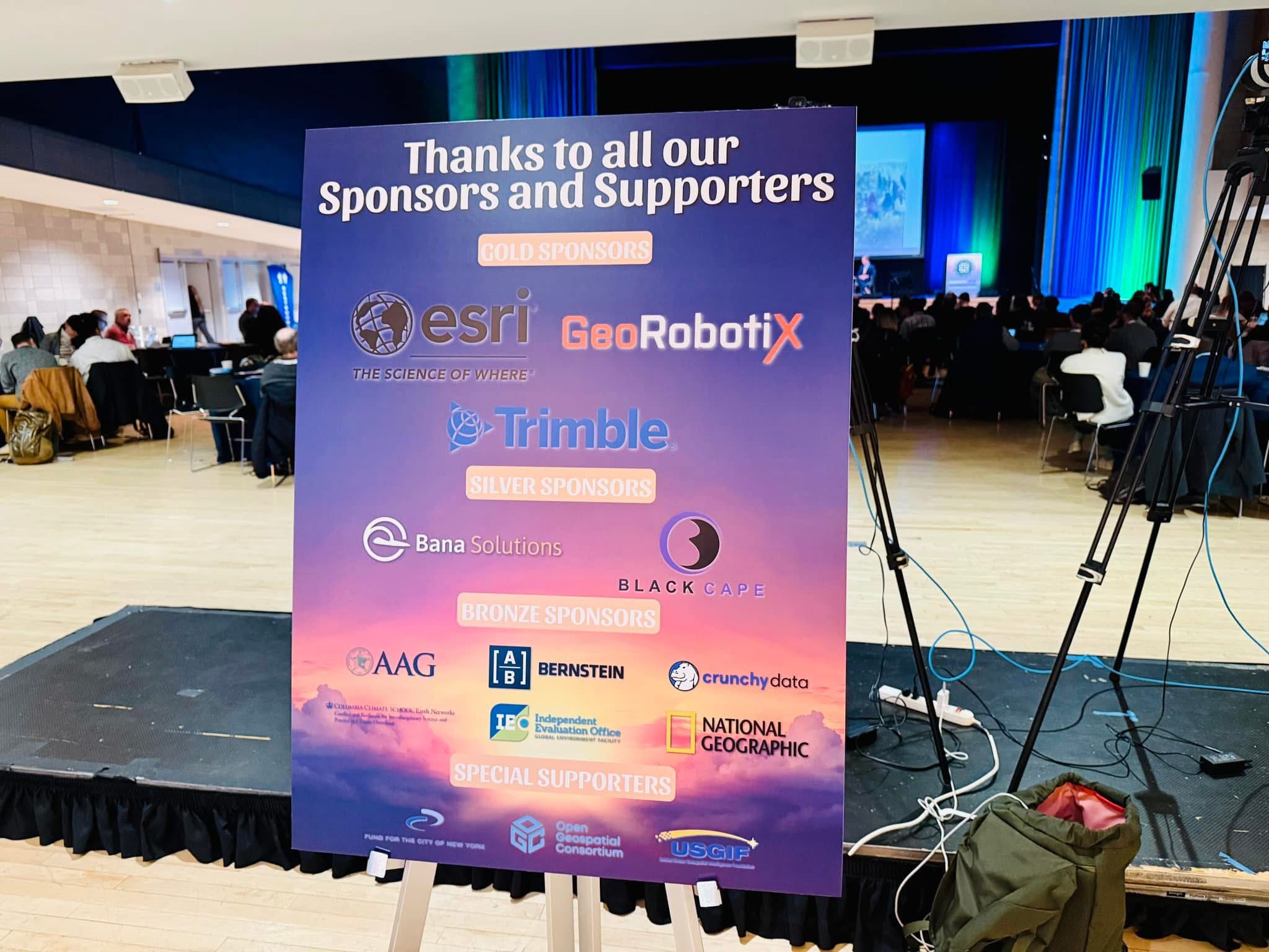
SWAAG 2024
SWAAG conference — student research paper
SWAAG conference — student research paper
UT GIS DAY 2024
UT GIS Day 2024 — First Prize

UT GIS Day 2024 — First Prize
AAG 2023
AAG 2023 Poster Presentataion
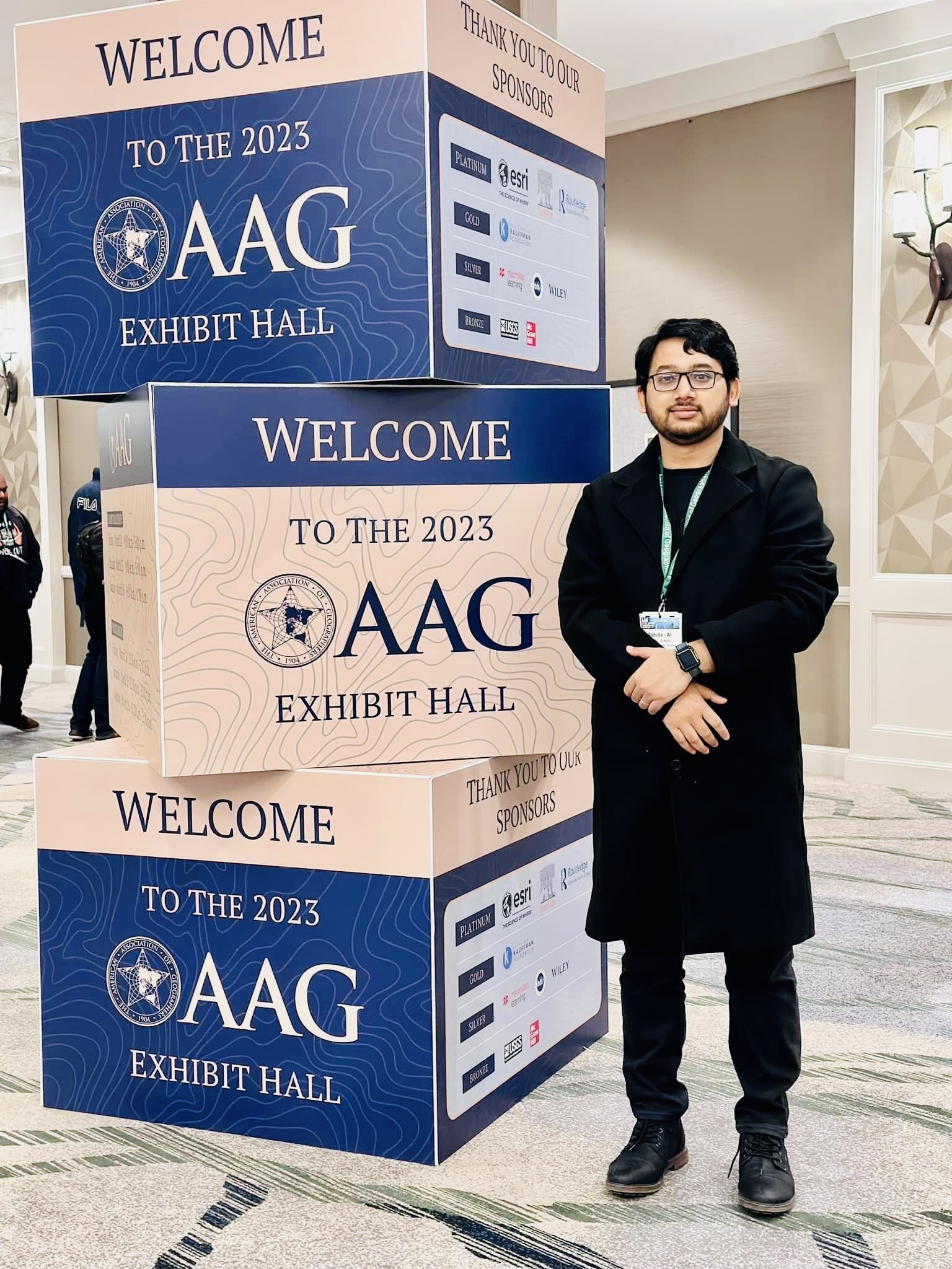
AAG 2023
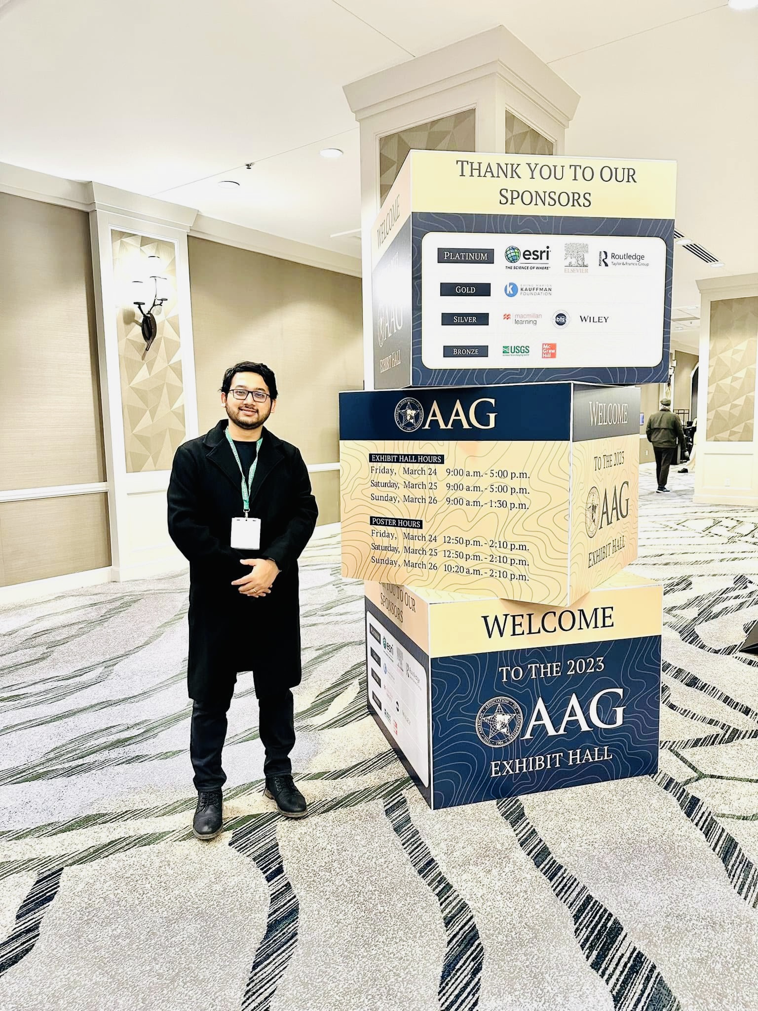
AAG 2023
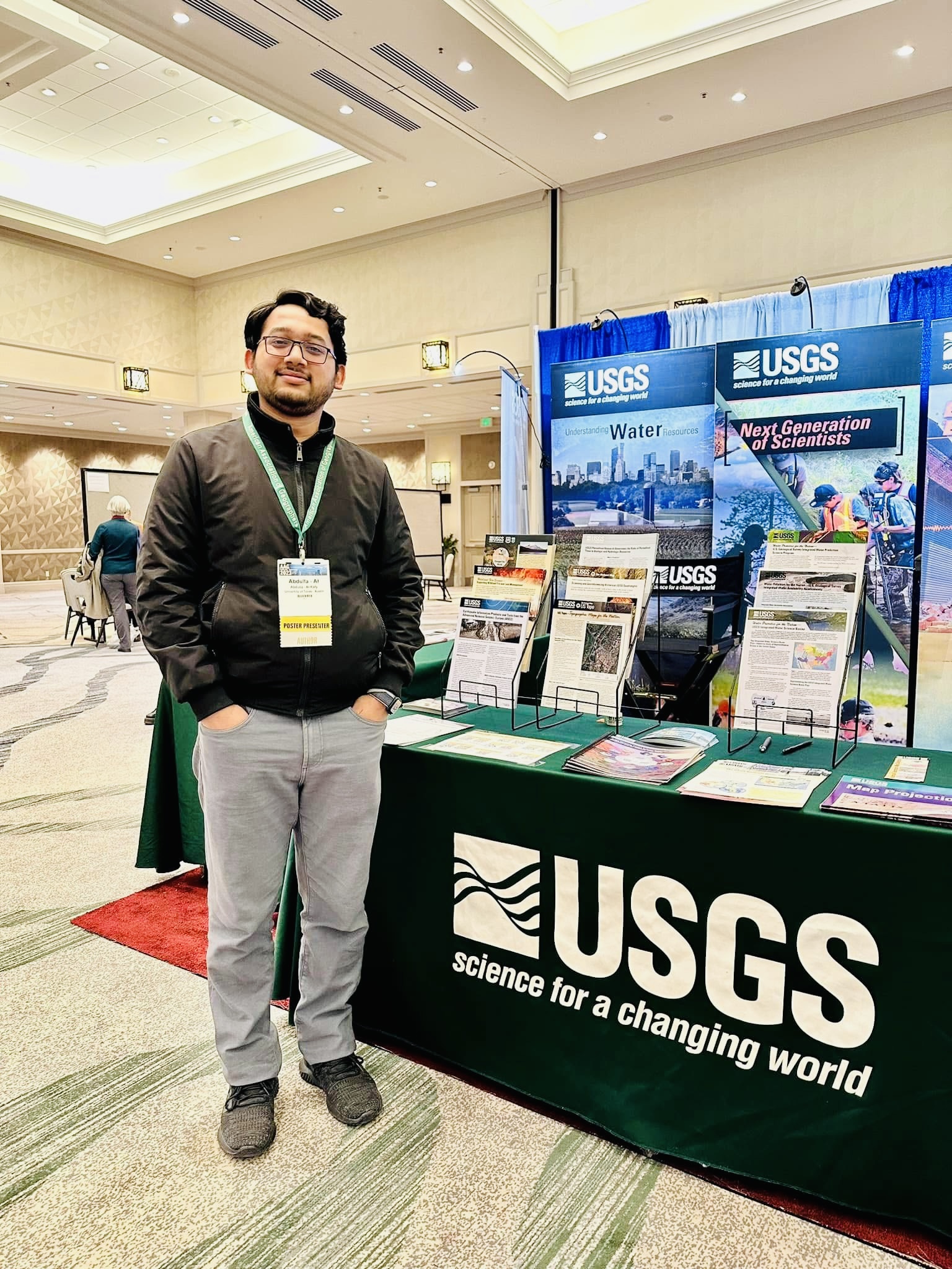
AAG 2023
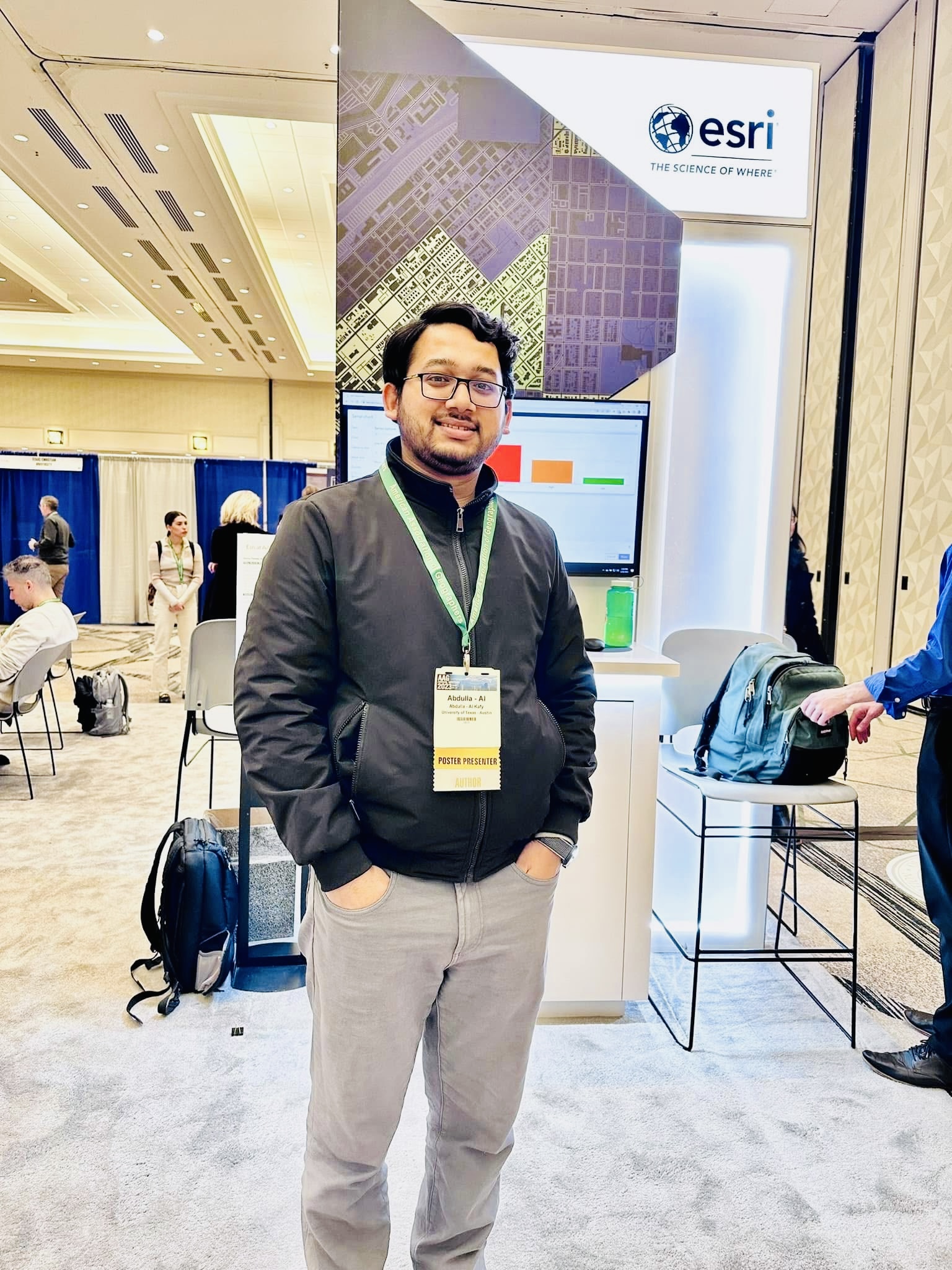
AAG 2023
AAG 2023
AAG 2023
Poster Presentataion at AAG 2023
Awards
AGS Council Fellowhship
UT GIS daya 2024 First Price
Masters Graduation

Masters Graduation

Masters Graduation

Masters Graduation

Masters Graduation
Bachelors Graduation

Bachelor Graduation RUET

Bachelors Graduation RUET
Bachelors Graduation RUET

Bachelors Graduation RUET

Bachelors Graduation RUET

Bachelors Graduation RUET
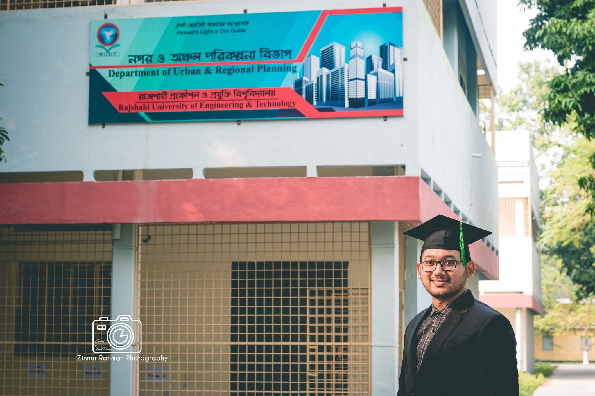
Bachelors Graduation RUET
Other Workshops and Conferences

Green Card Permanent Residency June 18 2025
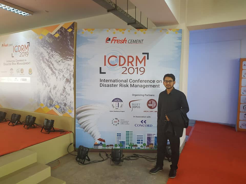
ICDRM Conference 2018

ICLEI South Asia Office in Rajshahi
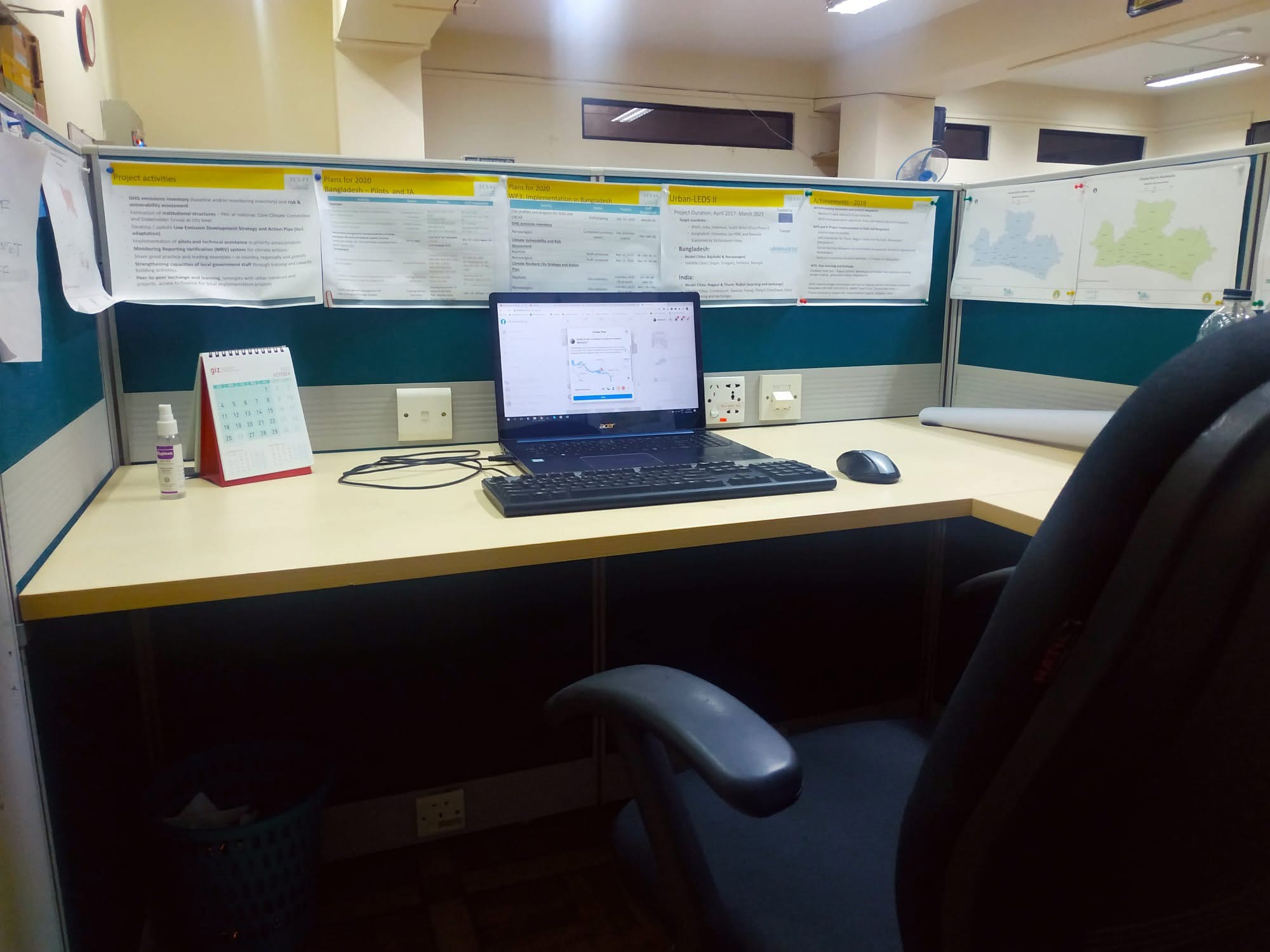
ICLEI South Asia Office in Rajshahi

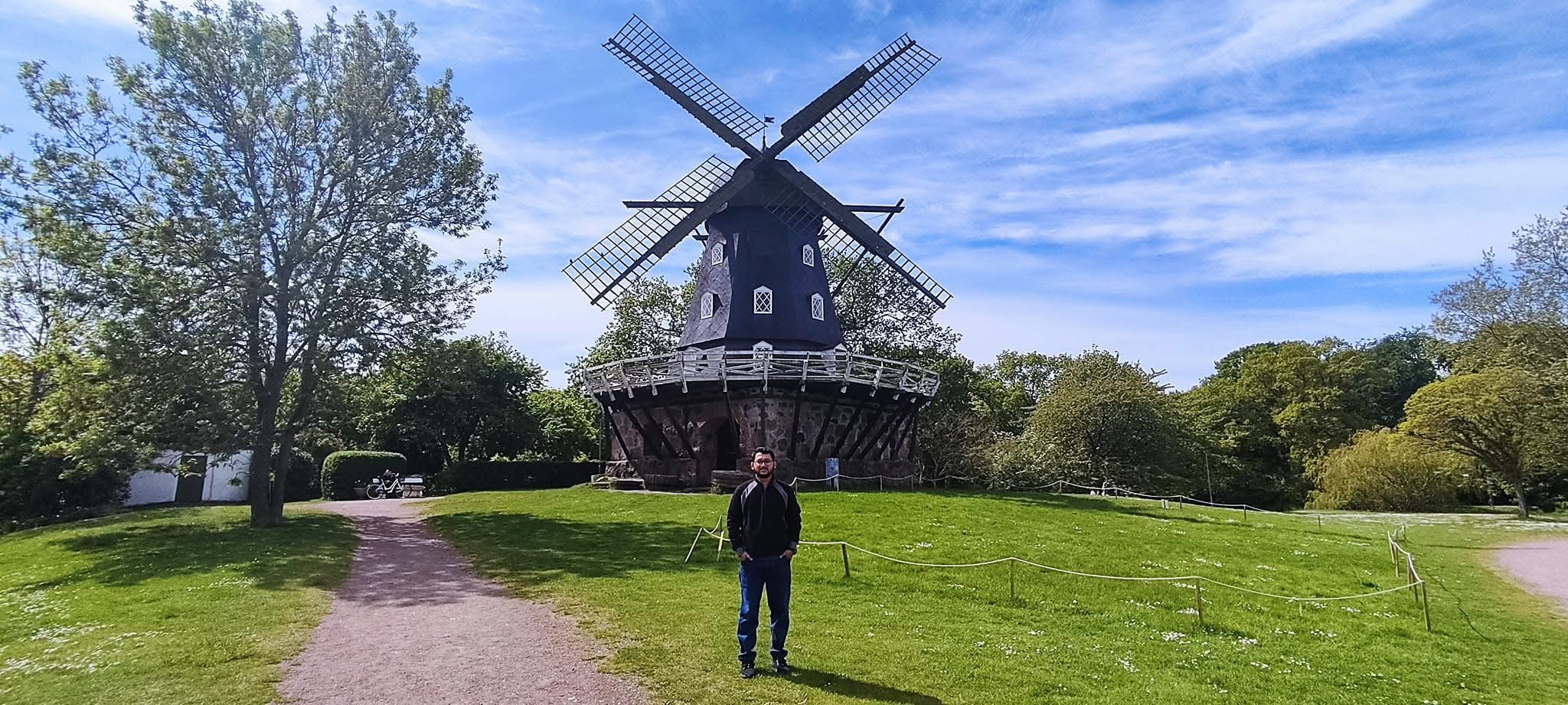
ICLEI World Congress - 2022 Malmo Sweden with BD Country Representative

ICLEI World Congress - 2022 Malmo Sweden

ICLEI World Congress - 2022 Malmo Sweden

ICLEI World Congress - 2022 Malmo Sweden

ICLEI World Congress - 2022 Malmo Sweden
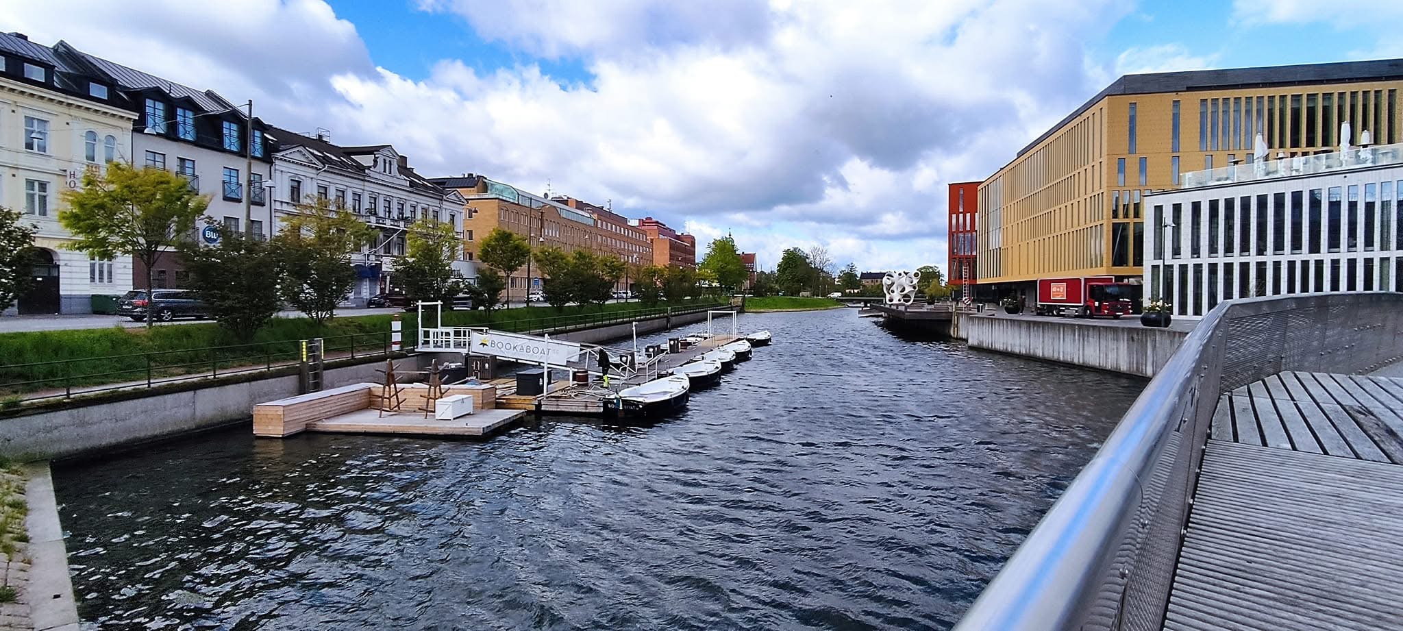
ICLEI World Congress - 2022 Malmo Sweden
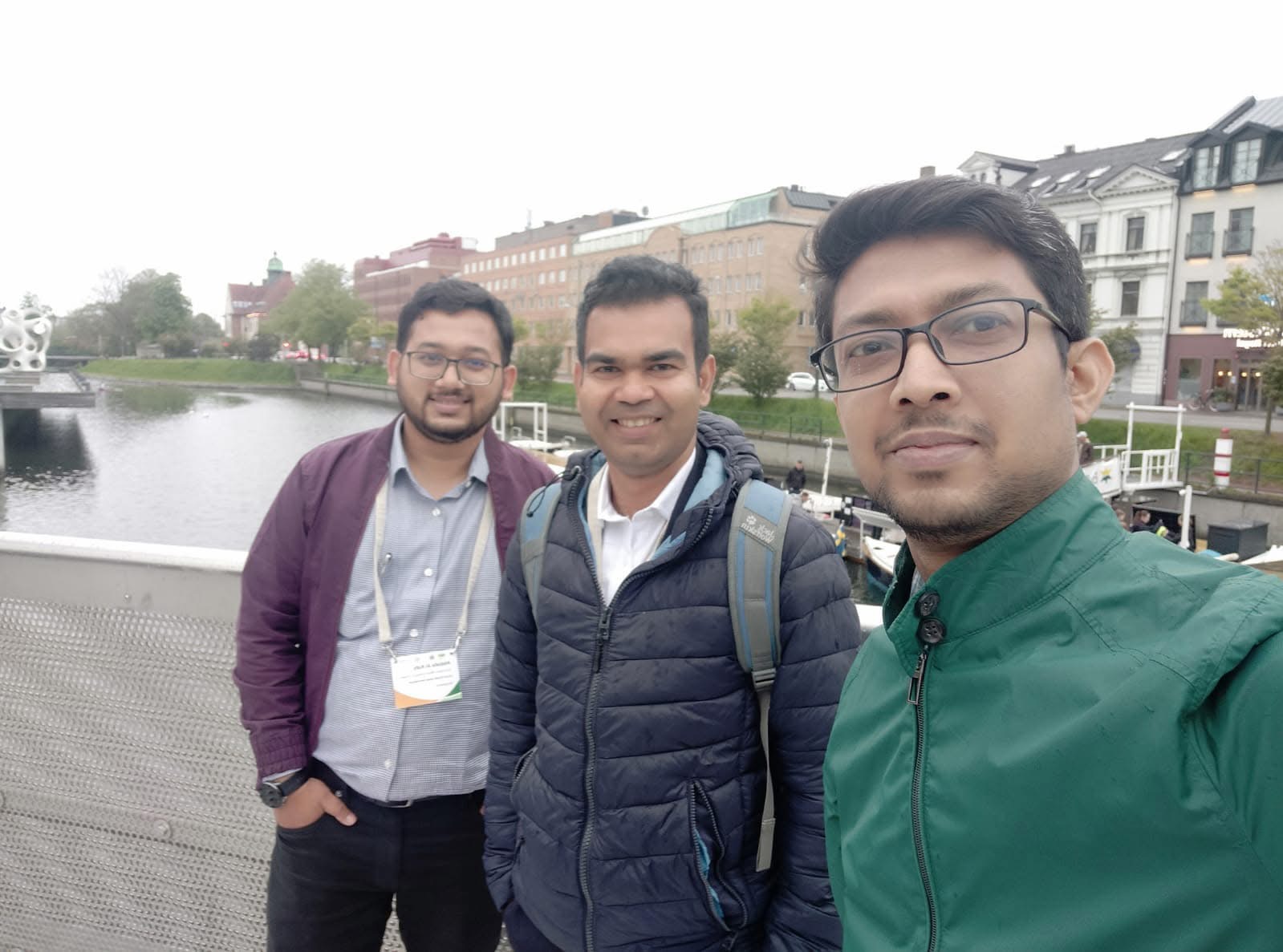
ICLEI World Congress - 2022 Malmo Sweden
ICLEI World Congress - 2022 Malmo Sweden
ICLEI World Congress - 2022 Malmo Sweden

ICLEI World Congress - 2022 Malmo Sweden

ICLEI World Congress - 2022 Malmo Sweden
.JPG)
ICLEI World Congress - 2022 Malmo Sweden
.JPG)
ICLEI World Congress - 2022 Malmo Sweden
Workshop Photo
Workshop Photo
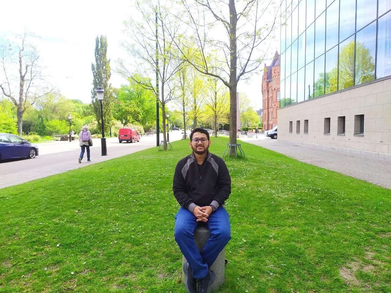
International Geoinformatics Summer School - 2018 Wuhan China
International Geoinformatics Summer School - 2018
.JPG)
International Geoinformatics Summer School - 2018
Presenting Research Paper in International Geoinformatics Summer School - 2018

Wuhan China
Get In Touch
I am always open to discussing research collaborations, projects, or speaking opportunities.
Liberal Arts Building, 305 E 23rd St, Austin, TX 78712